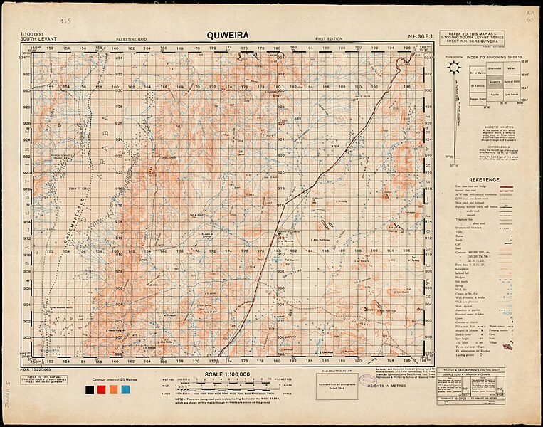
File:Jordan 14-Quweira (FL155294213 2367673).jpg
Jump to navigation
Jump to search

Size of this preview: 763 × 600 pixels. Other resolutions: 305 × 240 pixels | 611 × 480 pixels | 977 × 768 pixels | 1,280 × 1,006 pixels | 2,560 × 2,012 pixels | 15,776 × 12,401 pixels.
Original file (15,776 × 12,401 pixels, file size: 222.57 MB, MIME type: image/jpeg)
Captions
Captions
Add a one-line explanation of what this file represents
Summary
[edit]| Jordan
( |
||||||||||||||||||||||||
|---|---|---|---|---|---|---|---|---|---|---|---|---|---|---|---|---|---|---|---|---|---|---|---|---|
| Title |
Jordan |
|||||||||||||||||||||||
| Publisher |
512 Field Survey Coy.R.E |
|||||||||||||||||||||||
| Description |
Jordan 1:100,000. |
|||||||||||||||||||||||
| Language | English | |||||||||||||||||||||||
| Publication date | from 1943 until 1945 | |||||||||||||||||||||||
| Collection |
|
|||||||||||||||||||||||
| Current location |
|
|||||||||||||||||||||||
| Place of publication | unknown | |||||||||||||||||||||||
| search Merhav catalog | unknown | |||||||||||||||||||||||
| Notes |
Index map (series P.D.R. 1522); Various creators for sheets: Survey branch, H.Q. Ninth Army; Mobile Echelon, 512 Field Survey; Drawn by 12 Polish Corps Field Survey Company; 514 Field Survey Company; 17 Map Reproduction Section, R.E..; על מקצת הגליונות: הודפס עי שרות מפות וצלומים, צבא הגנה לישראל, 1948-9 English: South Levant. 1:100,000 | |||||||||||||||||||||||
| scale | 1:100,000 cm | |||||||||||||||||||||||
| IE PID | IE155294146 | |||||||||||||||||||||||
| Rosetta filename | FL155294213 | |||||||||||||||||||||||
| NNL item ID (P3959) | 990023676730205171 | |||||||||||||||||||||||
| search Merhav catalog | English | |||||||||||||||||||||||
| search Merhav catalog | Ein el WeibaDhibanMa'anTafilaBatn el GhulAqabaDeraaEzraaShaubakUm SahmMuwaqqar512 Field Survey Coy.R.E | |||||||||||||||||||||||
| Source/Photographer |
|
|||||||||||||||||||||||
| Other versions | ||||||||||||||||||||||||
| Jpg / Tif version |
|
|||||||||||||||||||||||

.jpg)

.jpg&action=edit§ion=1)
Licensing
[edit].jpg&action=edit§ion=2)
This work created by the United Kingdom Government is in the public domain.
This is because it is one of the following:
HMSO has declared that the expiry of Crown Copyrights applies worldwide (ref: HMSO Email Reply)
|
 |
[[Category:]]
File history
Click on a date/time to view the file as it appeared at that time.
| Date/Time | Thumbnail | Dimensions | User | Comment | |
|---|---|---|---|---|---|
| current | 07:34, 1 August 2023 | | 15,776 × 12,401 (222.57 MB) | Geagea (talk | contribs) | pattypan 22.03 |
You cannot overwrite this file.
File usage on Commons
The following 2 pages use this file:
.jpg&oldid=788923249)