File:Jonkowo (gmina) location map.png
Original file (2,254 × 1,764 pixels, file size: 783 KB, MIME type: image/png)
Captions
Captions
Summary
[edit]_location_map.png&action=edit§ion=1)
| Description |
English: Location map |
| Date | |
| Source | Own work |
| Author | Smat |
| Description |
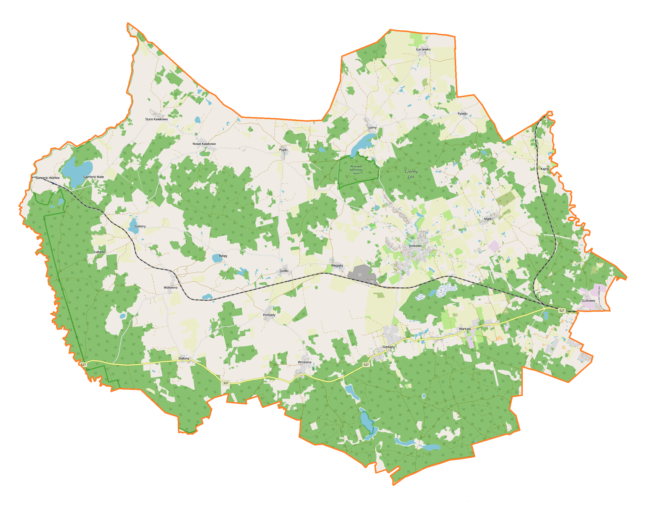
Polski: Mapa gminy Jonkowo, Polska
English: Map of Jonkowo (gmina), Poland |
|||||||||
| Date | ||||||||||
| Source | You may find a page on the OpenStreetMap wiki page for Jonkowo (gmina) | |||||||||
| Creator |
OpenStreetMap contributors OpenStreetMap contributors |
|||||||||
| Permission (Reusing this file) |
OpenStreetMap data is available under the Open Database License (details). Map tiles are licensed under the Creative Commons Attribution-ShareAlike 2.0 license (CC-BY-SA 2.0).
This file is licensed under the Creative Commons Attribution-Share Alike 2.0 Generic license.
|
|||||||||
| Geotemporal data | ||||||||||
| Bounding box |
|
|||||||||
| Georeferencing | If inappropriate please set warp_status = skip to hide. | |||||||||
Licensing
[edit]_location_map.png&action=edit§ion=2)
| This work contains information from OpenStreetMap, which is made available under the Open Database License (ODbL).
The ODbL does not require any particular license for maps produced from ODbL data. Prior to 1 August 2020, map tiles produced by the OpenStreetMap Foundation were licensed under the CC-BY-SA-2.0 license. Maps produced by other people may be subject to other licences. |
File history
Click on a date/time to view the file as it appeared at that time.
| Date/Time | Thumbnail | Dimensions | User | Comment | |
|---|---|---|---|---|---|
| current | 13:01, 9 May 2019 | | 2,254 × 1,764 (783 KB) | Smat (talk | contribs) | User created page with UploadWizard |
You cannot overwrite this file.
File usage on Commons
There are no pages that use this file.
File usage on other wikis
The following other wikis use this file:
- Usage on de.wikipedia.org
- Usage on pl.wikipedia.org
- Warkały (powiat olsztyński)
- Gamerki Wielkie
- Garzewko
- Giedajty
- Godki
- Jonkowo
- Kajny
- Nowe Kawkowo
- Polejki
- Porbady
- Szałstry
- Stare Kawkowo
- Stękiny
- Wilimowo
- Wołowno
- Węgajty
- Wrzesina (województwo warmińsko-mazurskie)
- Gutkowo (województwo warmińsko-mazurskie)
- Łomy (województwo warmińsko-mazurskie)
- Mątki (województwo warmińsko-mazurskie)
- Pupki (powiat olsztyński)
- Jezioro Gamerskie
- Gamerki Małe
- Bałąg
- Szelągowo
- Rezerwat przyrody Kamienna Góra
- Parafia św. Jana Chrzciciela w Jonkowie
- Szałstry (jezioro)
- Jonkowo (przystanek kolejowy)
- Godki (przystanek kolejowy)
- Wołowno (przystanek kolejowy)
- Gamerki Wielkie (stacja kolejowa)
- Szatanki
- Bobry (powiat olsztyński)
- Polejki Leśne
- Żurawno (Polska)
- Kościół św. Jana Chrzciciela w Jonkowie
- Łabędź (Szałstry)
- Parafia św. Jana Ewangelisty w Nowym Kawkowie
- Trojan (Wrzesina)
- Moduł:Mapa/dane/Jonkowo (gmina)
- Parafia św. Marii Magdaleny we Wrzesinie
- Usage on pl.wikibooks.org
_location_map.png&oldid=704001335)