File:Jones-Willis House 2.jpg
Jump to navigation
Jump to search

Size of this preview: 800 × 600 pixels. Other resolutions: 320 × 240 pixels | 640 × 480 pixels | 1,024 × 768 pixels | 1,280 × 960 pixels | 1,600 × 1,200 pixels.
Original file (1,600 × 1,200 pixels, file size: 449 KB, MIME type: image/jpeg)
Captions
Captions
Add a one-line explanation of what this file represents
Summary
[edit]
| Description |
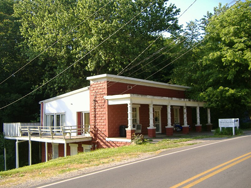
English: Jones-Willis House in Brandenburg, Kentucky, a building on the National Register of Historic Places.
|
||
| Date | 25 May 2007 (according to Exif data) | ||
| Source | Own work by the original uploader | ||
| Author | C. Bedford Crenshaw |
| Object location | | View this and other nearby images on: OpenStreetMap |
|---|
Licensing
[edit]

|
The copyright holder of this file allows anyone to use it for any purpose, provided that the copyright holder is properly attributed. Redistribution, derivative work, commercial use, and all other use is permitted. |
|
|
Original upload log
[edit]
Transferred from en.wikipedia to Commons using For the Common Good.
The original description page was here. All following user names refer to en.wikipedia.
| Date/Time | Dimensions | User | Comment |
|---|---|---|---|
| 14:10, 13 January 2009 | 1,600 × 1,200 (459,986 bytes) | w:en:Bedford (talk | contribs) | [[Jones-Willis House]] in [[Brandenburg, Kentucky]], a building on the [[National Register of Historic Places]]. == Licensing == {{attribution|User:Bedford|C. Bedford Crenshaw}} {{Template:NoCommons}} [[Category:Images of Meade County, Kentucky]] |
File history
Click on a date/time to view the file as it appeared at that time.
| Date/Time | Thumbnail | Dimensions | User | Comment | |
|---|---|---|---|---|---|
| current | 21:40, 15 October 2015 | | 1,600 × 1,200 (449 KB) | Kelly (talk | contribs) | Transferred from en.wikipedia: see original upload log above |
You cannot overwrite this file.
File usage on Commons
There are no pages that use this file.
File usage on other wikis
The following other wikis use this file:
- Usage on en.wikipedia.org