File:Johnston Atoll 2009-05-05, EO-1 bands 5-4-3-1, 15m resolution.png
Jump to navigation
Jump to search
Size of this preview: 800 × 522 pixels. Other resolutions: 320 × 209 pixels | 640 × 417 pixels | 1,024 × 668 pixels | 1,280 × 835 pixels | 2,424 × 1,581 pixels.
Original file (2,424 × 1,581 pixels, file size: 6.95 MB, MIME type: image/png)
Captions
Captions
Add a one-line explanation of what this file represents
Summary
[edit]
| Description |
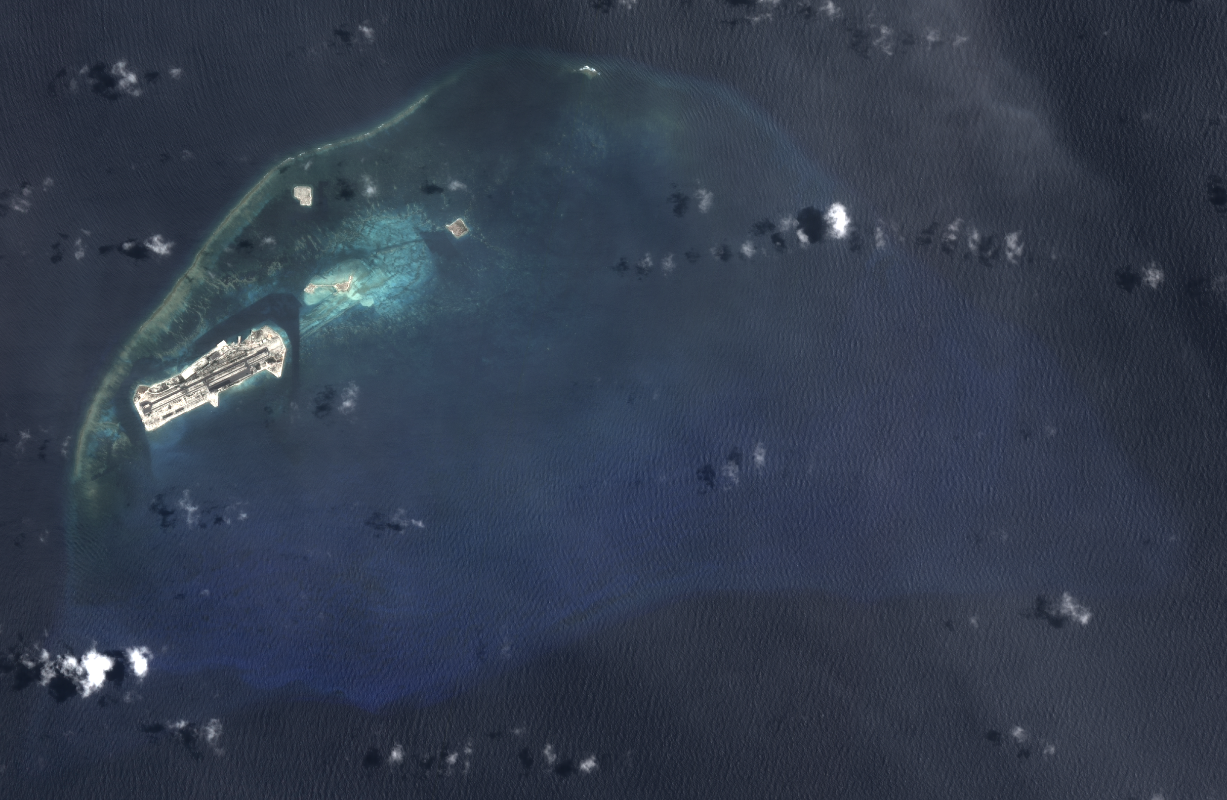
English: Composite "true color" satellite image of Johnston Atoll, United States Minor Outlying Islands.
NASA EO-1 ALI bands used were 5 (red), 4 (green), 3 (blue), and 1 (panspectral). The image was pan-sharpened and resampled to 10m resolution. (correction: this image is 10m resolution.) Imagery courtesy of NASA/USGS. |
| Date | |
| Source | NASA EO-1 satellite image GeoTIFF archive, http://glovis.usgs.gov |
| Author | NASA |
| Camera location | | View this and other nearby images on: OpenStreetMap |
|---|
Licensing
[edit]
| This file is in the public domain in the United States because it was solely created by NASA. NASA copyright policy states that "NASA material is not protected by copyright unless noted". (See Template:PD-USGov, NASA copyright policy page or JPL Image Use Policy.) | ||
 |
Warnings:
|
File history
Click on a date/time to view the file as it appeared at that time.
| Date/Time | Thumbnail | Dimensions | User | Comment | |
|---|---|---|---|---|---|
| current | 22:14, 25 October 2012 | | 2,424 × 1,581 (6.95 MB) | Разрывные (talk | contribs) | User created page with UploadWizard |
You cannot overwrite this file.
File usage on Commons
There are no pages that use this file.