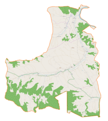
File:Jodłowa (gmina) location map.png
Original file (1,857 × 2,085 pixels, file size: 590 KB, MIME type: image/png)
Captions
Captions
Summary
[edit]_location_map.png&action=edit§ion=1)
| Description |
English: Location map |
| Date | |
| Source | Own work |
| Author | Smat |
| Description |
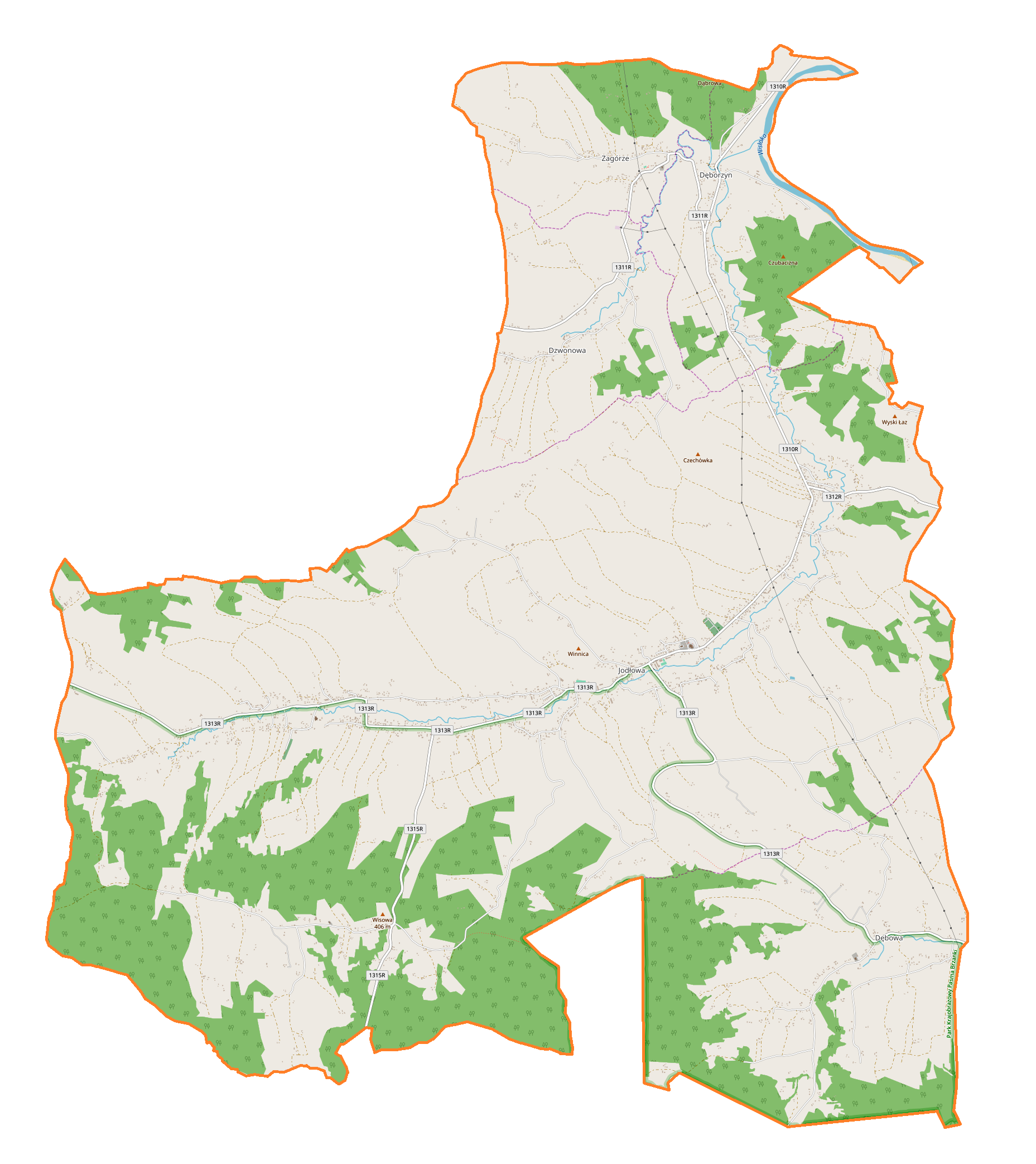
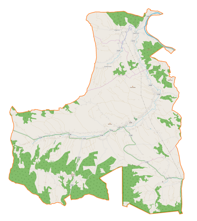
Polski: Mapa gminy Jodłowa, Polska
English: Map of Jodłowa (gmina), Poland |
|||||||||
| Date | ||||||||||
| Source | You may find a page on the OpenStreetMap wiki page for Jodłowa (gmina) | |||||||||
| Creator |
OpenStreetMap contributors OpenStreetMap contributors |
|||||||||
| Permission (Reusing this file) |
OpenStreetMap data is available under the Open Database License (details). Map tiles are licensed under the Creative Commons Attribution-ShareAlike 2.0 license (CC-BY-SA 2.0).
This file is licensed under the Creative Commons Attribution-Share Alike 2.0 Generic license.
|
|||||||||
| Geotemporal data | ||||||||||
| Bounding box |
|
|||||||||
| Georeferencing | If inappropriate please set warp_status = skip to hide. | |||||||||
Licensing
[edit]_location_map.png&action=edit§ion=2)
| This work contains information from OpenStreetMap, which is made available under the Open Database License (ODbL).
The ODbL does not require any particular license for maps produced from ODbL data. Prior to 1 August 2020, map tiles produced by the OpenStreetMap Foundation were licensed under the CC-BY-SA-2.0 license. Maps produced by other people may be subject to other licences. |
File history
Click on a date/time to view the file as it appeared at that time.
| Date/Time | Thumbnail | Dimensions | User | Comment | |
|---|---|---|---|---|---|
| current | 15:14, 26 June 2018 | | 1,857 × 2,085 (590 KB) | Smat (talk | contribs) | User created page with UploadWizard |
You cannot overwrite this file.
File usage on Commons
There are no pages that use this file.
File usage on other wikis
The following other wikis use this file:
- Usage on pl.wikipedia.org
- Dęborzyn
- Dzwonowa
- Jodłowa
- Dębowa (województwo podkarpackie)
- Zagórze (powiat dębicki)
- Cmentarz żydowski w Jodłowej
- Kościół św. Stanisława Biskupa i Męczennika w Jodłowej
- Parafia św. Stanisława w Jodłowej
- Parafia Trójcy Przenajświętszej w Jodłowej Górnej
- Cmentarz wojenny nr 230 – Dęborzyn
- Cmentarz wojenny nr 231 – Jodłowa
- Cmentarz wojenny nr 232 – Jodłowa
- Moduł:Mapa/dane/Jodłowa (gmina)
- Maślakowice (Jodłowa)
- Wikipedysta:GmJdl/brudnopis/kaplica
- Kaplica Matki Boskiej Bolesnej w Jodłowej Górnej
- Usage on pl.wikibooks.org
_location_map.png&oldid=607600309)