File:Janův hrad 01.jpg
Original file (3,117 × 4,707 pixels, file size: 5.03 MB, MIME type: image/jpeg)
Captions
Summary
[edit]DescriptionJanův hrad 01.jpg |
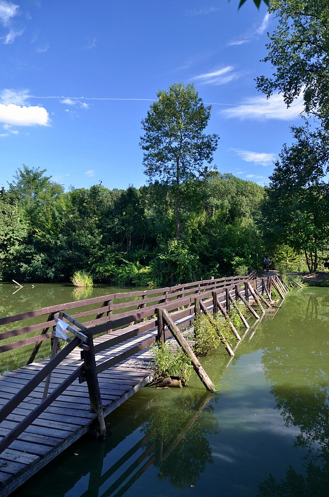
Čeština: Zámek Janův hrad Podivín, Vlčí louka 348, Podivín
English: Janův Hrad (in German: Hansenburg, meaning John's Castle) is imitation of ruin from early 19th century in Lednice–Valtice Cultural Landscape, Czech Republic
Deutsch: Die künstliche Ruine Janův Hrad (deutsch Hansenburg) liegt bei Lednice im Kreis Břeclav, Tschechien.
|
|||
Date | ||||
Source |
Own work
|
|||
Author | Herzi Pinki | |||
Permission (Reusing this file) |
I, the copyright holder of this work, hereby publish it under the following license: This file is licensed under the Creative Commons Attribution-Share Alike 3.0 Unported license.
|
Camera location | 48° 48′ 14.02″ N, 16° 49′ 58.22″ E | View this and other nearby images on: OpenStreetMap | 48.803895; 16.832838 |
---|
File history
Click on a date/time to view the file as it appeared at that time.
Date/Time | Thumbnail | Dimensions | User | Comment | |
---|---|---|---|---|---|
current | 20:44, 20 September 2012 | 3,117 × 4,707 (5.03 MB) | Herzi Pinki (talk | contribs) | User created page with UploadWizard |
You cannot overwrite this file.
File usage on Commons
The following page uses this file:
File usage on other wikis
The following other wikis use this file:
- Usage on www.wikidata.org
Metadata
This file contains additional information such as Exif metadata which may have been added by the digital camera, scanner, or software program used to create or digitize it. If the file has been modified from its original state, some details such as the timestamp may not fully reflect those of the original file. The timestamp is only as accurate as the clock in the camera, and it may be completely wrong.
Camera manufacturer | NIKON CORPORATION |
---|---|
Camera model | NIKON D7000 |
Author | Christian Philipp |
Copyright holder |
|
Exposure time | 1/200 sec (0.005) |
F-number | f/3.5 |
ISO speed rating | 160 |
Date and time of data generation | 16:02, 29 August 2012 |
Lens focal length | 18 mm |
Latitude | 48° 48′ 14.02″ N |
Longitude | 16° 49′ 58.22″ E |
Altitude | 155 meters above sea level |
Usage terms |
|
Label | Zyan |
Orientation | Normal |
Horizontal resolution | 300 dpi |
Vertical resolution | 300 dpi |
Software used | ViewNX 2.0 M |
File change date and time | 21:51, 20 September 2012 |
Y and C positioning | Centered |
Pair of black and white reference values |
|
Exposure Program | Shutter priority |
Exif version | 2.3 |
Date and time of digitizing | 16:02, 29 August 2012 |
Meaning of each component |
|
APEX exposure bias | −0.66666666666667 |
Maximum land aperture | 3.6 APEX (f/3.48) |
Metering mode | Pattern |
Light source | Unknown |
Flash | Flash did not fire, compulsory flash suppression |
DateTime subseconds | 70 |
DateTimeOriginal subseconds | 70 |
DateTimeDigitized subseconds | 70 |
Supported Flashpix version | 1 |
Color space | Uncalibrated |
Sensing method | One-chip color area sensor |
File source | Digital still camera |
Scene type | A directly photographed image |
Custom image processing | Normal process |
Exposure mode | Auto exposure |
White balance | Auto white balance |
Digital zoom ratio | 1 |
Focal length in 35 mm film | 27 mm |
Scene capture type | Standard |
Scene control | None |
Contrast | Normal |
Saturation | Normal |
Sharpness | Normal |
Subject distance range | Unknown |
GPS time (atomic clock) | 14:02 |
Satellites used for measurement | 05 |
Geodetic survey data used | WGS 84 |
GPS date | 29 August 2012 |
GPS tag version | 0.0.3.2 |
Urgency | 5 |