File:J Werwinghs geometr avritning Norrala 1699 V37-1-3.jpg
Jump to navigation
Jump to search
Size of this preview: 800 × 362 pixels. Other resolutions: 320 × 145 pixels | 640 × 290 pixels | 1,024 × 463 pixels | 1,834 × 830 pixels.
Original file (1,834 × 830 pixels, file size: 215 KB, MIME type: image/jpeg)
Captions
Captions
Add a one-line explanation of what this file represents
Summary
[edit]
| Description |
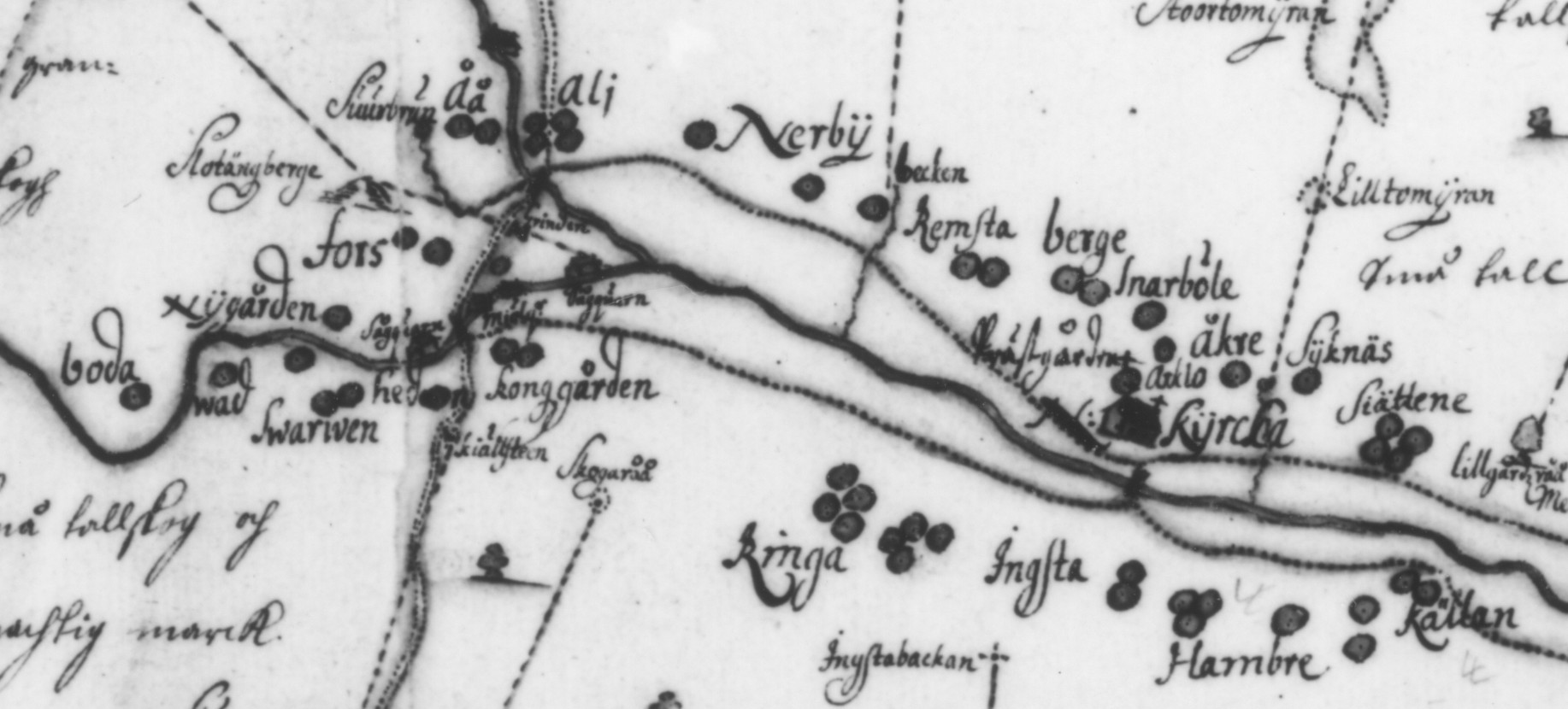
English: Lantmäteriet, Sweden, from a photograph of a map of Norrala parish by J. Werwingh (act no. V37-1:3) from 1699, purchased for publishing |
| Date | |
| Source | Lantmäteriet, Sweden, from a photograph of a map from 1699, purchased for publishing |
| Author | Lantmäteriet, Sweden |
| Permission (Reusing this file) |
Part of a picture purchased for publishing which in turn has been cropped and edited |
Licensing
[edit]
I, the copyright holder of this work, hereby publish it under the following licenses:

|
Permission is granted to copy, distribute and/or modify this document under the terms of the GNU Free Documentation License, Version 1.2 or any later version published by the Free Software Foundation; with no Invariant Sections, no Front-Cover Texts, and no Back-Cover Texts. A copy of the license is included in the section entitled GNU Free Documentation License. |
This file is licensed under the Creative Commons Attribution-Share Alike 3.0 Unported license.
- You are free:
- to share – to copy, distribute and transmit the work
- to remix – to adapt the work
- Under the following conditions:
- attribution – You must give appropriate credit, provide a link to the license, and indicate if changes were made. You may do so in any reasonable manner, but not in any way that suggests the licensor endorses you or your use.
- share alike – If you remix, transform, or build upon the material, you must distribute your contributions under the same or compatible license as the original.
You may select the license of your choice.
File history
Click on a date/time to view the file as it appeared at that time.
| Date/Time | Thumbnail | Dimensions | User | Comment | |
|---|---|---|---|---|---|
| current | 06:33, 21 December 2008 | | 1,834 × 830 (215 KB) | Minor~commonswiki (talk | contribs) | {{Information |Description=A map drawn by J. Werwing of the parish of Norrala (province of Hälsingland, Sweden) in 1699, which in turn has been cropped and edited by user Minor. |Source=Lantmäteriet, Gävle |Date=1990 |Author=Lantmäteriet; Minor |Permi |
| 19:42, 19 November 2008 |  | 1,834 × 830 (215 KB) | Minor~commonswiki (talk | contribs) | Part of a scanned photograph originally taken by the Swedish Lantmäteriet, which was purchased for publishing. Category:Sweden 1611-1718 Category:Hälsingland | |
| 17:59, 14 November 2008 |  | 1,338 × 930 (192 KB) | Minor~commonswiki (talk | contribs) | {{Information |Description={{en|1=Lantmäteriet, Sweden, from a photograph of a map of Norrala parish by J. Werwingh (act no. V37-1:3) from 1699, purchased for publishing}} |Source=Lantmäteriet, Sweden, from a photograph of a map from 1699, purchased for |
You cannot overwrite this file.
File usage on Commons
There are no pages that use this file.
File usage on other wikis
The following other wikis use this file:
- Usage on sv.wikipedia.org