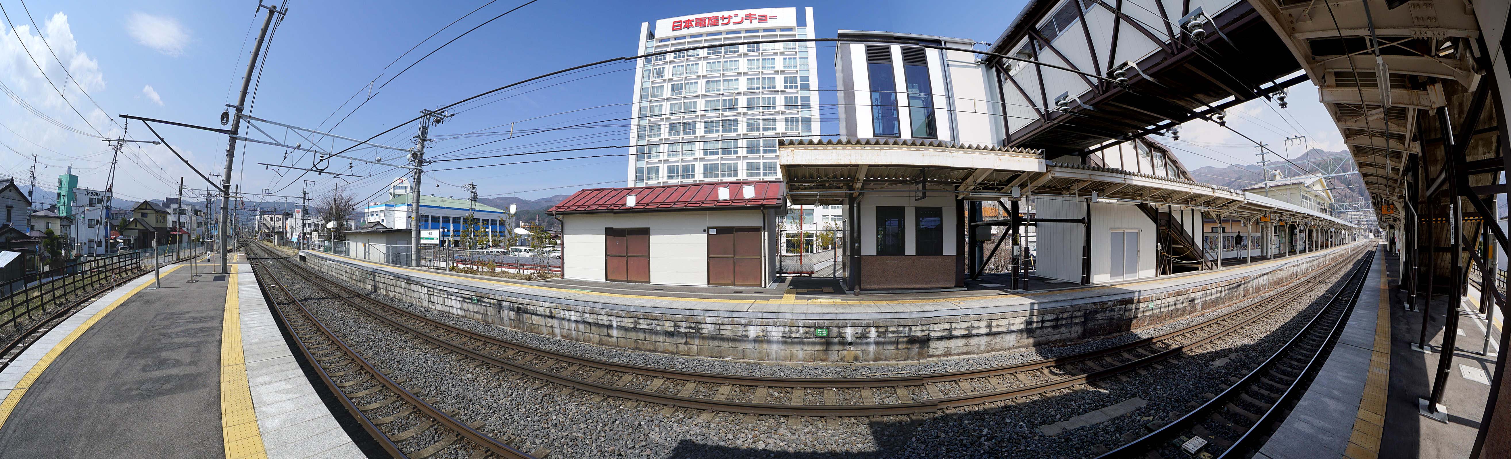
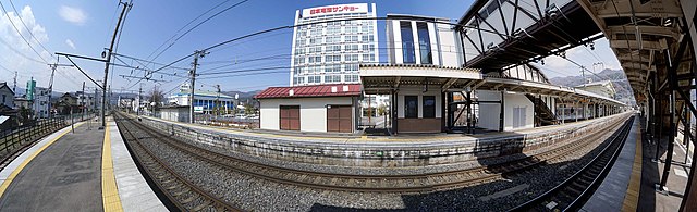
File:JR Shimo suwa sta. , JR 下諏訪駅 - panoramio (11).jpg
Jump to navigation
Jump to search
Size of this preview: 799 × 243 pixels. Other resolutions: 320 × 97 pixels | 640 × 195 pixels | 1,024 × 312 pixels | 1,280 × 390 pixels | 5,257 × 1,600 pixels.
Original file (5,257 × 1,600 pixels, file size: 1.19 MB, MIME type: image/jpeg)
Captions
Captions
Add a one-line explanation of what this file represents
Summary
[edit].jpg&action=edit§ion=1)
| Description | JR Shimo suwa sta. , JR 下諏訪駅 | ||
| Date | Taken on 21 March 2015 | ||
| Source | https://web.archive.org/web/20161031071200/http://www.panoramio.com/photo/118357414 | ||
| Author | z tanuki | ||
| Permission (Reusing this file) |
This file is licensed under the Creative Commons Attribution 3.0 Unported license. Attribution: z tanuki
|
||
| Panoramio Tags | Shimosuwa, 2015, Railways 鉄道, 下諏訪町, 日本, 長野県 |
| Camera location | | View this and other nearby images on: OpenStreetMap |
|---|
.jpg¶ms=036.071939_N_0138.084375_E_globe:Earth_type:camera_source:Panoramio_&language=en)
File history
Click on a date/time to view the file as it appeared at that time.
| Date/Time | Thumbnail | Dimensions | User | Comment | |
|---|---|---|---|---|---|
| current | 09:11, 2 June 2017 | 5,257 × 1,600 (1.19 MB) | Panoramio upload bot (talk | contribs) | == {{int:filedesc}} == {{Information |description=JR Shimo suwa sta. , JR 下諏訪駅 |date={{Taken on|2015-03-21}} |source=http://www.panoramio.com/photo/118357414 |author=[http://www.panoramio.com/user/238971?with_photo_id=118357414 z tanuki] |permi... |
You cannot overwrite this file.
File usage on Commons
There are no pages that use this file.
.jpg&oldid=705552016)