File:JR East E751 Tsugaru E751 series Tsugaru.jpg
From Wikimedia Commons, the free media repository
Jump to navigation
Jump to search
Size of this preview: 800 × 533 pixels. Other resolutions: 320 × 213 pixels | 640 × 427 pixels | 1,024 × 682 pixels | 1,280 × 853 pixels.
Original file (1,280 × 853 pixels, file size: 413 KB, MIME type: image/jpeg)
File information
Structured data
Captions
Camera location | 40° 49′ 47.64″ N, 140° 44′ 01.62″ E | View this and other nearby images on: OpenStreetMap
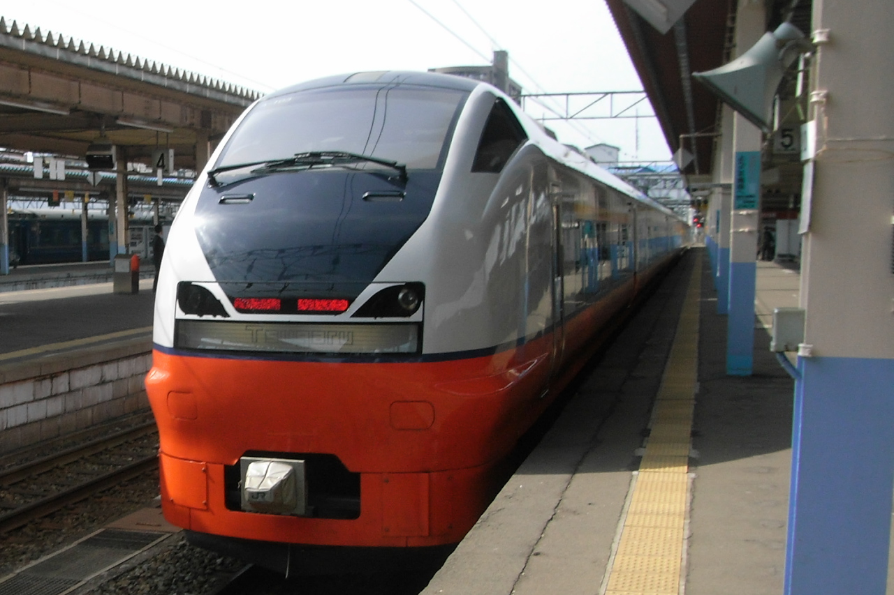
 | 40.829900; 140.733783 |
---|
DescriptionJR East E751 Tsugaru E751 series Tsugaru.jpg | つがるに使用されている新型車両、E751系。青森駅にて。 | ||
Date | |||
Source | originally posted to Flickr as JR East E751 Tsugaru / E751系つがる | ||
Author | Yamaguchi Yoshiaki | ||
Permission (Reusing this file) |
This file is licensed under the Creative Commons Attribution-Share Alike 2.0 Generic license.
|
File history
Click on a date/time to view the file as it appeared at that time.
Date/Time | Thumbnail | Dimensions | User | Comment | |
---|---|---|---|---|---|
current | 06:56, 3 July 2008 | 1,280 × 853 (413 KB) | Flickr upload bot (talk | contribs) | Uploaded from http://flickr.com/photo/37807125@N00/2473284079 using Flickr upload bot |
You cannot overwrite this file.
File usage on Commons
There are no pages that use this file.
Metadata
This file contains additional information such as Exif metadata which may have been added by the digital camera, scanner, or software program used to create or digitize it. If the file has been modified from its original state, some details such as the timestamp may not fully reflect those of the original file. The timestamp is only as accurate as the clock in the camera, and it may be completely wrong.
Image title | Exif_JPEG_PICTURE |
---|---|
Camera manufacturer | RICOH |
Camera model | Caplio R6 |
Copyright holder | (C) by Caplio R6 User |
Exposure time | 1/660 sec (0.0015151515151515) |
F-number | f/3.6 |
ISO speed rating | 100 |
Date and time of data generation | 08:41, 1 May 2008 |
Lens focal length | 5.4 mm |
Latitude | 40° 49′ 47.64″ N |
Longitude | 140° 44′ 1.62″ E |
Altitude | 46 meters above sea level |
Orientation | Normal |
Horizontal resolution | 300 dpi |
Vertical resolution | 300 dpi |
Software used | DIGICAM PLUGIN for KASHMIR3D |
File change date and time | 11:49, 3 May 2008 |
Y and C positioning | Co-sited |
Exposure Program | Normal program |
Exif version | 2.21 |
Date and time of digitizing | 08:41, 1 May 2008 |
Meaning of each component |
|
Image compression mode | 1.6 |
APEX aperture | 3.7 |
APEX brightness | 8 |
APEX exposure bias | 0 |
Maximum land aperture | 3.3 APEX (f/3.14) |
Metering mode | Pattern |
Light source | Unknown |
Flash | Flash did not fire, compulsory flash suppression |
Supported Flashpix version | 1 |
Color space | sRGB |
Custom image processing | Custom process |
Exposure mode | Auto exposure |
Scene capture type | Standard |
Geodetic survey data used | WGS84 |
GPS tag version | 2.0.0.0 |