File:Israel ashdod location map.svg
Jump to navigation
Jump to search

Size of this PNG preview of this SVG file: 516 × 494 pixels. Other resolutions: 251 × 240 pixels | 501 × 480 pixels | 802 × 768 pixels | 1,070 × 1,024 pixels | 2,139 × 2,048 pixels.
Original file (SVG file, nominally 516 × 494 pixels, file size: 50 KB)
Captions
Captions
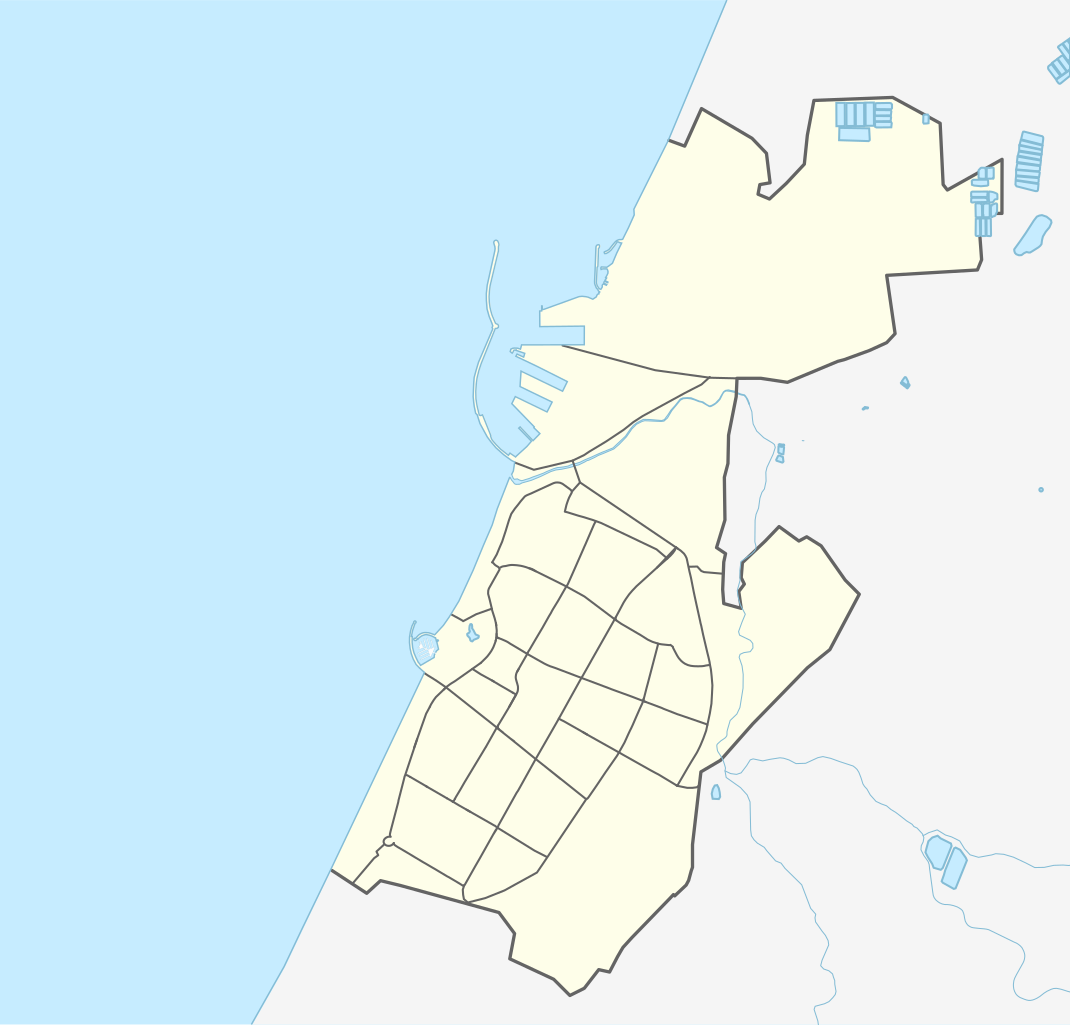
Quarters of Ashdod
Summary
[edit]
| Description | ||||
| Date | ||||
| Source |
Own work using: OpenStreetMap data
|
|||
| Author | Mikey641 |
Licensing
[edit]
I, the copyright holder of this work, hereby publish it under the following licenses:

|
Permission is granted to copy, distribute and/or modify this document under the terms of the GNU Free Documentation License, Version 1.2 or any later version published by the Free Software Foundation; with no Invariant Sections, no Front-Cover Texts, and no Back-Cover Texts. A copy of the license is included in the section entitled GNU Free Documentation License. |
This file is licensed under the Creative Commons Attribution-Share Alike 3.0 Unported license.
- You are free:
- to share – to copy, distribute and transmit the work
- to remix – to adapt the work
- Under the following conditions:
- attribution – You must give appropriate credit, provide a link to the license, and indicate if changes were made. You may do so in any reasonable manner, but not in any way that suggests the licensor endorses you or your use.
- share alike – If you remix, transform, or build upon the material, you must distribute your contributions under the same or compatible license as the original.
You may select the license of your choice.
File history
Click on a date/time to view the file as it appeared at that time.
| Date/Time | Thumbnail | Dimensions | User | Comment | |
|---|---|---|---|---|---|
| current | 19:22, 25 August 2016 | | 516 × 494 (50 KB) | Mikey641 (talk | contribs) | Editing SVG source code using User:Rillke/SVGedit.js; upload handled by User:Rillke/MwJSBot.js |
| 01:07, 24 August 2016 |  | 516 × 494 (50 KB) | Mikey641 (talk | contribs) | User created page with UploadWizard |
You cannot overwrite this file.
File usage on Commons
The following 2 pages use this file:
File usage on other wikis
The following other wikis use this file:
- Usage on ar.wikipedia.org
- Usage on de.wikipedia.org
- Usage on fr.wikipedia.org
- Usage on he.wikipedia.org
- אשדוד
- בני דרום
- נחל לכיש
- גשר עד הלום
- ניר גלים
- ישיבת נווה הרצוג
- גן הדרום
- שתולים
- שדה עוזיהו
- אצטדיון הי"א באשדוד
- ברקה
- ישיבת נוה דקלים
- הדיונה הגדולה
- פארק לכיש
- ישיבת גרודנא (ישראל)
- המכללה האקדמית להנדסה סמי שמעון
- נמל אשדוד
- תבנית:בוט יישובים/0070
- בית החולים האוניברסיטאי אסותא אשדוד
- אשדוד ים
- תחנת הרכבת אשדוד – עד הלום
- מחלף אשדוד
- תבנית:בוט יישובים/1072
- תבנית:בוט יישובים/0763
- תבנית:בוט יישובים/0739
- תבנית:בוט יישובים/0720
- תבנית:בוט יישובים/0592
- מוזיאון אשדוד לאמנות
- איסדוד
- בית זיקוק אשדוד
- נווה גלים
- מחלף עד הלום
- תחנת הכוח אשכול
- קציני-ים אורט אשדוד
- היכל טוטו הקריה
- נמל היובל
- תל אשדוד
- גבעת יונה
- מרינה אשדוד
- תל מור
- התחנה המרכזית של אשדוד
- נחל האלה
View more global usage of this file.