File:Israel Beersheba location map.svg
Jump to navigation
Jump to search

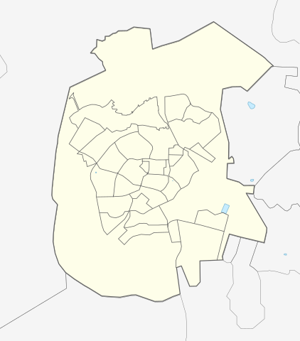
Size of this PNG preview of this SVG file: 527 × 600 pixels. Other resolutions: 211 × 240 pixels | 422 × 480 pixels | 675 × 768 pixels | 899 × 1,024 pixels | 1,799 × 2,048 pixels | 549 × 625 pixels.
Original file (SVG file, nominally 549 × 625 pixels, file size: 17 KB)
Captions
Captions
Add a one-line explanation of what this file represents
Summary
[edit]
| Description |
|
||||||||||||
| Date | |||||||||||||
| Source |
Own work using: OpenStreetMap data
|
||||||||||||
| Author | Mikey641 | ||||||||||||
Licensing
[edit]
I, the copyright holder of this work, hereby publish it under the following licenses:

|
Permission is granted to copy, distribute and/or modify this document under the terms of the GNU Free Documentation License, Version 1.2 or any later version published by the Free Software Foundation; with no Invariant Sections, no Front-Cover Texts, and no Back-Cover Texts. A copy of the license is included in the section entitled GNU Free Documentation License. |
This file is licensed under the Creative Commons Attribution-Share Alike 3.0 Unported license.
- You are free:
- to share – to copy, distribute and transmit the work
- to remix – to adapt the work
- Under the following conditions:
- attribution – You must give appropriate credit, provide a link to the license, and indicate if changes were made. You may do so in any reasonable manner, but not in any way that suggests the licensor endorses you or your use.
- share alike – If you remix, transform, or build upon the material, you must distribute your contributions under the same or compatible license as the original.
You may select the license of your choice.
File history
Click on a date/time to view the file as it appeared at that time.
| Date/Time | Thumbnail | Dimensions | User | Comment | |
|---|---|---|---|---|---|
| current | 19:21, 25 August 2016 | | 549 × 625 (17 KB) | Mikey641 (talk | contribs) | Editing SVG source code using User:Rillke/SVGedit.js; upload handled by User:Rillke/MwJSBot.js |
| 14:37, 22 August 2016 |  | 549 × 625 (17 KB) | Mikey641 (talk | contribs) | User created page with UploadWizard |
You cannot overwrite this file.
File usage on Commons
The following 2 pages use this file:
File usage on other wikis
The following other wikis use this file:
- Usage on ar.wikipedia.org
- Usage on fr.wikipedia.org
- Usage on he.wikipedia.org
- אוניברסיטת בן-גוריון בנגב
- באר שבע
- עומר (יישוב)
- שגב שלום
- אנדרטת חטיבת הנגב
- בית אשל
- מסעודין אל-עזאזמה
- אבו עמרה
- תל באר שבע
- נווה נוי
- שכונת נחל בקע
- שכונה ה' (באר שבע)
- שכונה ד' (באר שבע)
- שכונה ב' (באר שבע)
- תיאטרון באר שבע
- באר אברהם
- שכונה א' (באר שבע)
- המכללה האקדמית להנדסה סמי שמעון
- תבנית:בוט יישובים/9000
- תבנית:בוט יישובים/0666
- תבנית:בוט יישובים/1286
- המרכז הרפואי האוניברסיטאי סורוקה
- תחנת הרכבת באר שבע – מרכז
- המכללה האקדמית לחינוך ע"ש קיי
- תחנת הרכבת באר שבע – צפון / אוניברסיטה
- בית יציב
- תחנת הרכבת הטורקית בבאר שבע
- שיחת תבנית:מיקום
- קניון עזריאלי הנגב
- אצטדיון וסרמיל
- מצבת הזיכרון הטורקית בבאר שבע
- קרב באר שבע
- בית הקברות הצבאי הבריטי בבאר שבע
- מדרחוב קרן קיימת לישראל
- בית הסראייה (באר שבע)
- תבנית:בוט יישובים/0932
- תבנית:בוט יישובים/0939
- תבנית:בוט יישובים/0958
- מרכז אילן רמון לנוער שוחר פיזיקה
- בית מרקחת הנגב
- גשר הרכבת הטורקי על נחל באר שבע
- ישיבת בני עקיבא אהל שלמה - באר שבע
- פורום באר שבע
- ביר אבו מטר
- כלא באר שבע
- פיגוע ההתאבדות הכפול בבאר שבע
- פארק נחל באר שבע
View more global usage of this file.