File:IsraelMapLocation.svg
Jump to navigation
Jump to search

Size of this PNG preview of this SVG file: 223 × 599 pixels. Other resolutions: 89 × 240 pixels | 179 × 480 pixels | 286 × 768 pixels | 381 × 1,024 pixels | 763 × 2,048 pixels | 500 × 1,342 pixels.
Original file (SVG file, nominally 500 × 1,342 pixels, file size: 161 KB)
Captions
Captions
Add a one-line explanation of what this file represents
Summary
[edit]
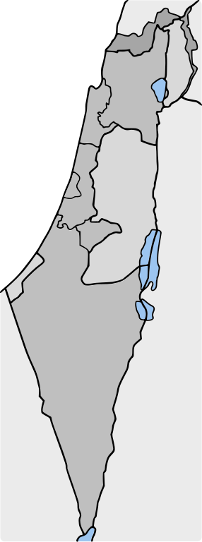
| Description | Map of Israel using gray-shades |
| Date | |
| Source | [:Image:Israel geoloc.svg]] |
| Author | User:Frombenny |
| Permission (Reusing this file) |
GFDL |
Licensing
[edit]

|
Permission is granted to copy, distribute and/or modify this document under the terms of the GNU Free Documentation License, Version 1.2 or any later version published by the Free Software Foundation; with no Invariant Sections, no Front-Cover Texts, and no Back-Cover Texts. A copy of the license is included in the section entitled GNU Free Documentation License. |
| This file is licensed under the Creative Commons Attribution-Share Alike 3.0 Unported license. | ||
| ||
| This licensing tag was added to this file as part of the GFDL licensing update. |
File history
Click on a date/time to view the file as it appeared at that time.
| Date/Time | Thumbnail | Dimensions | User | Comment | |
|---|---|---|---|---|---|
| current | 17:05, 13 January 2007 | 500 × 1,342 (161 KB) | Bemoeial~commonswiki (talk | contribs) | {{Information |Description=Map of Israel using gray-shades |Source=[:Image:Israel geoloc.svg]] |Date=2006-01-13 |Author=User:Frombenny |Permission=GFDL |other_versions= }} |
You cannot overwrite this file.
File usage on Commons
There are no pages that use this file.
File usage on other wikis
The following other wikis use this file:
- Usage on nl.wikipedia.org