File:Isla de Saboga La Mochila.jpg
Jump to navigation
Jump to search
Size of this preview: 800 × 449 pixels. Other resolutions: 320 × 180 pixels | 640 × 359 pixels | 1,024 × 575 pixels | 1,280 × 718 pixels | 3,264 × 1,832 pixels.
Original file (3,264 × 1,832 pixels, file size: 1.63 MB, MIME type: image/jpeg)
Captions
Captions
Add a one-line explanation of what this file represents
Summary
[edit]
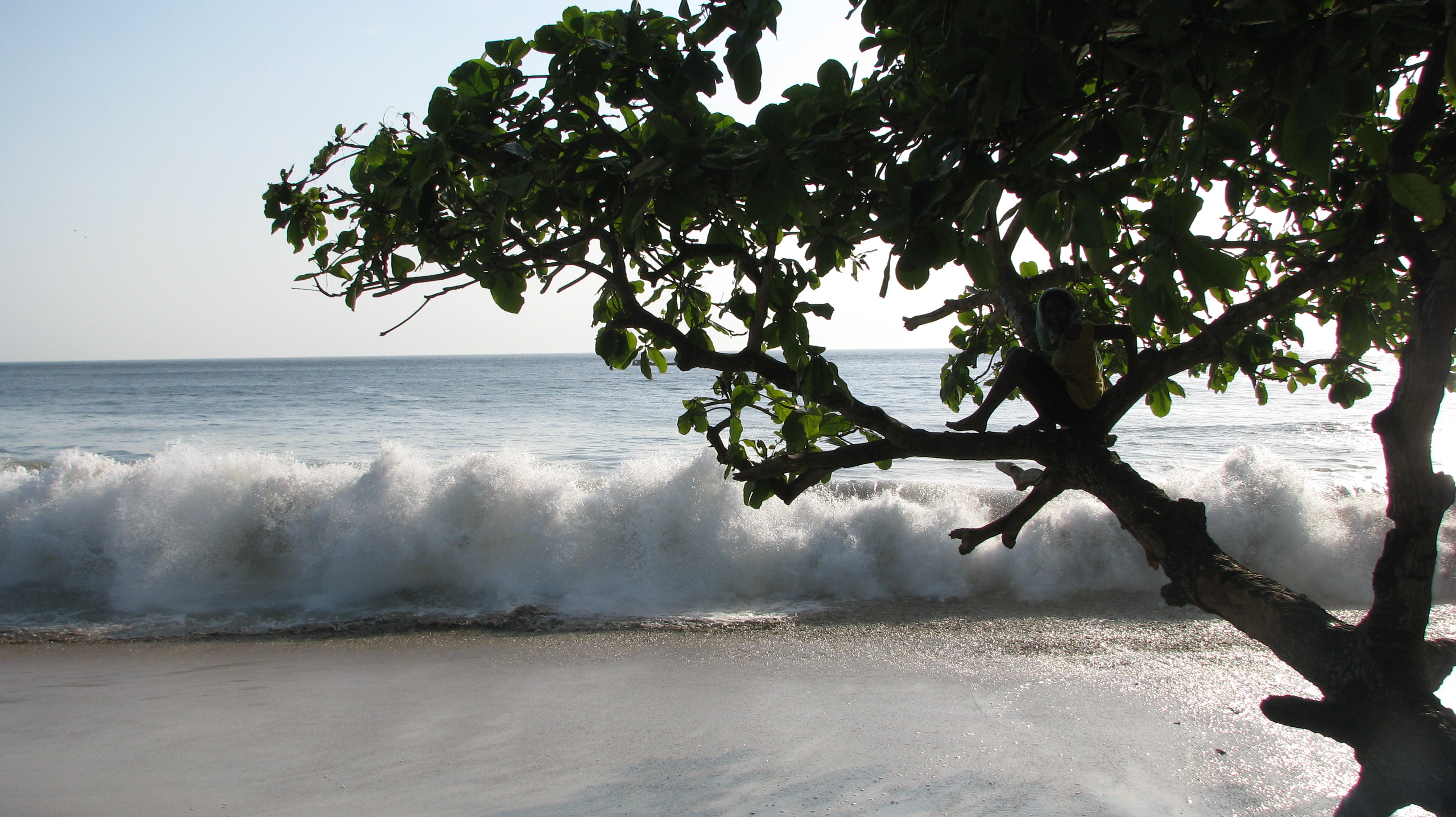
| Description | Vista de la playa en la Isla Saboga | ||
| Date | |||
| Source |
Fundación Almanaque Azul
|
||
| Author | Fany mcGhan y Laurie Batista | ||
| Permission (Reusing this file) |
This file is licensed under the Creative Commons Attribution-Share Alike 3.0 Unported license.
|
||
| mochila_relacion_programa_educativo | Los seres vivos y su ambiente | ||
| mochila_provincia | Panamá | ||
| mochila_distrito | Balboa | ||
| mochila_corregimiento | Saboga | ||
| mochila_lugar | Archipiélago de las Perlas | ||
| mochila_georef_type | Centroide | ||
| mochila_ecosistema | Bosque húmedo Chocó-Darién | ||
| mochila_grupos humanos | |||
| mochila_palabras_clave | Turismo, Sol y playa, Arena | ||
| mochila_tema | Interacción hombre- ambiente | ||
| mochila_paisaje | Natural | ||
| mochila_nombre_comun | |||
| mochila_codigo_admin | 80206 | ||
| mochila_geologia | Volcánicas | ||
| mochila_cuenca | |||
| mochila_SINAP |
| Camera location | | View this and other nearby images on: OpenStreetMap |
|---|
File history
Click on a date/time to view the file as it appeared at that time.
| Date/Time | Thumbnail | Dimensions | User | Comment | |
|---|---|---|---|---|---|
| current | 14:10, 28 July 2014 | | 3,264 × 1,832 (1.63 MB) | Ayaita (talk | contribs) | GWToolset: Creating mediafile for Ayaita. |
You cannot overwrite this file.
File usage on Commons
There are no pages that use this file.