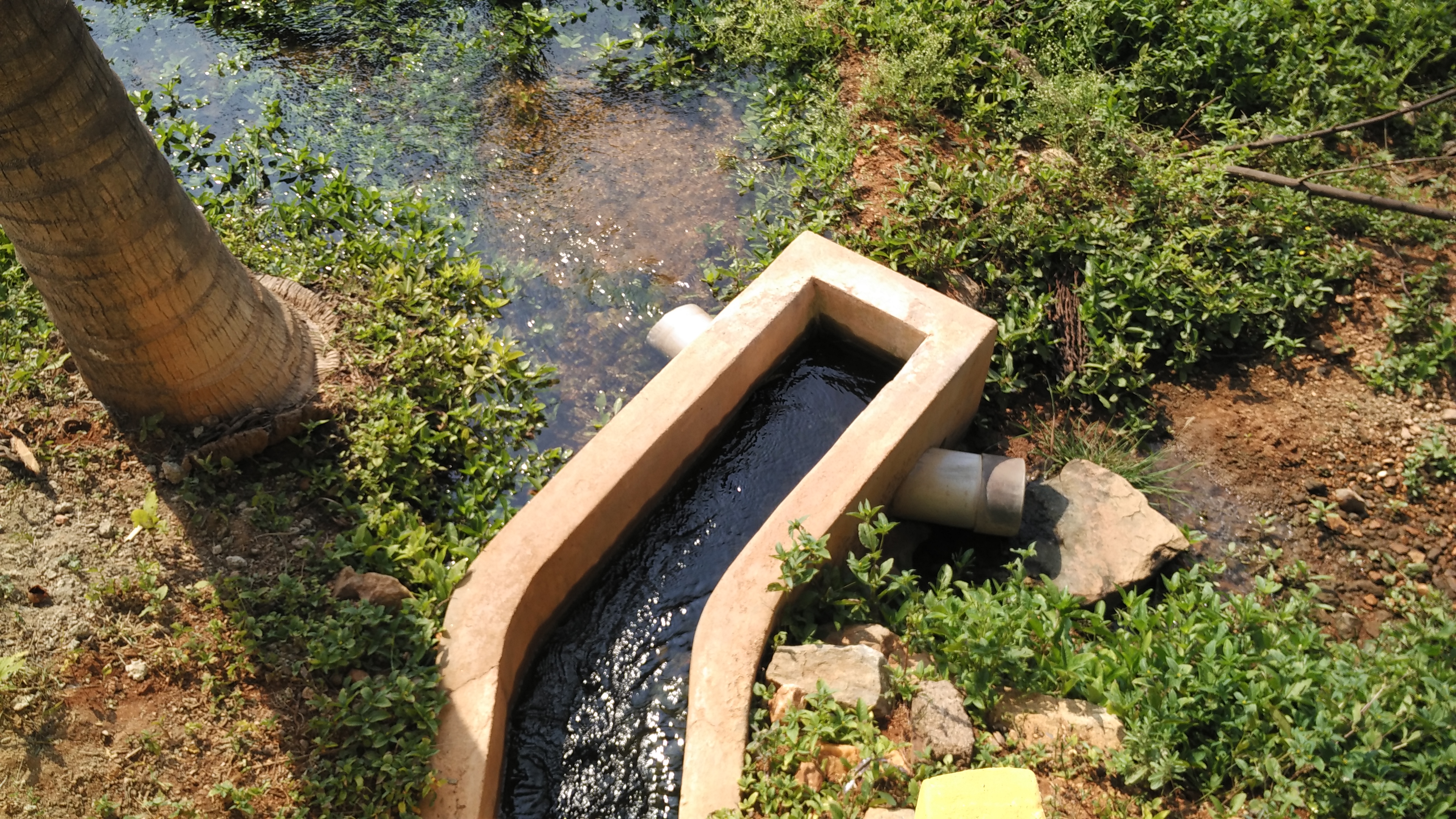
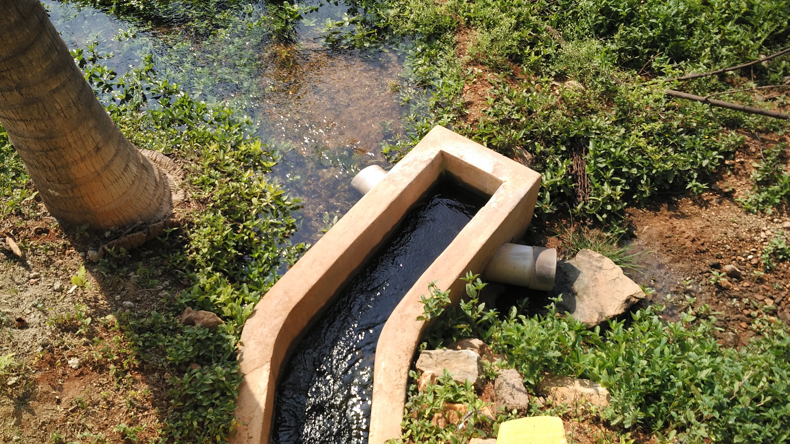
File:Irrigation channel outlet.jpeg
Jump to navigation
Jump to search
Size of this preview: 800 × 450 pixels. Other resolutions: 320 × 180 pixels | 640 × 360 pixels | 1,024 × 576 pixels | 1,280 × 720 pixels | 2,560 × 1,441 pixels | 4,208 × 2,368 pixels.
Original file (4,208 × 2,368 pixels, file size: 4.76 MB, MIME type: image/jpeg)
Captions
Captions
Add a one-line explanation of what this file represents
Summary
[edit]
| Camera location | | View this and other nearby images on: OpenStreetMap |
|---|
Licensing
[edit]
| I, the copyright holder of this work, release this work into the public domain. This applies worldwide. In some countries this may not be legally possible; if so: I grant anyone the right to use this work for any purpose, without any conditions, unless such conditions are required by law. |
File history
Click on a date/time to view the file as it appeared at that time.
| Date/Time | Thumbnail | Dimensions | User | Comment | |
|---|---|---|---|---|---|
| current | 06:40, 4 May 2017 | | 4,208 × 2,368 (4.76 MB) | Sukunavk2000 (talk | contribs) |
You cannot overwrite this file.
File usage on Commons
There are no pages that use this file.