File:Irrel-pruemzurlay.png
Jump to navigation
Jump to search
Size of this preview: 800 × 512 pixels. Other resolutions: 320 × 205 pixels | 640 × 410 pixels | 1,024 × 655 pixels | 1,200 × 768 pixels.
Original file (1,200 × 768 pixels, file size: 223 KB, MIME type: image/png)
Captions
Captions
Add a one-line explanation of what this file represents
Summary
[edit]
| Description |
|
| Date | |
| Source | Own work, derived from "Irrel-irrel.png" (PD) by Sozi |
| Author | Andreas.husch, derived from work by User Sozi |
| Permission (Reusing this file) |
PD-own work |
Licensing
[edit]
| I, the copyright holder of this work, release this work into the public domain. This applies worldwide. In some countries this may not be legally possible; if so: I grant anyone the right to use this work for any purpose, without any conditions, unless such conditions are required by law. |
File history
Click on a date/time to view the file as it appeared at that time.
| Date/Time | Thumbnail | Dimensions | User | Comment | |
|---|---|---|---|---|---|
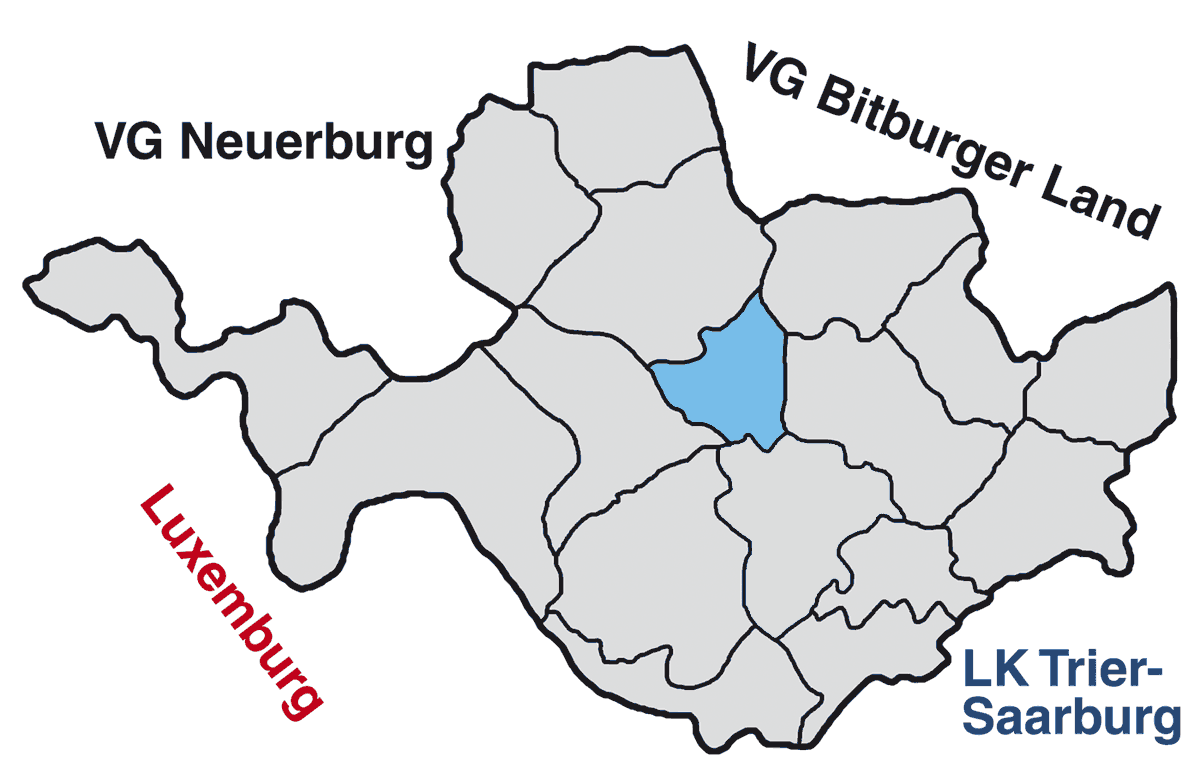
| current | 11:00, 22 February 2007 | | 1,200 × 768 (223 KB) | Andreas.husch (talk | contribs) | {{Information |Description= * {{de|Karte der Verbandsgemeinde Irrel, Rheinland-Pfalz, mit Lage der Gemeinde Prümzurlay}} * {{en|Map of the collective municipality (''Verbandsgemeinde'') of Irrel, Rhineland-Palatinate, with the municipality of Prümzurlay |
You cannot overwrite this file.
File usage on Commons
There are no pages that use this file.
File usage on other wikis
The following other wikis use this file:
- Usage on pt.wikipedia.org
- Usage on vi.wikipedia.org