File:Irma 2017-09-10 1900Z.jpg
Jump to navigation
Jump to search

Size of this preview: 456 × 600 pixels. Other resolutions: 182 × 240 pixels | 365 × 480 pixels | 584 × 768 pixels | 778 × 1,024 pixels | 1,556 × 2,048 pixels | 6,080 × 8,000 pixels.
Original file (6,080 × 8,000 pixels, file size: 20.11 MB, MIME type: image/jpeg)
Captions
Captions
Add a one-line explanation of what this file represents
| Warning | The original file is very high-resolution. It might not load properly or could cause your browser to freeze when opened at full size. |
|---|
Summary
[edit]
| Description |
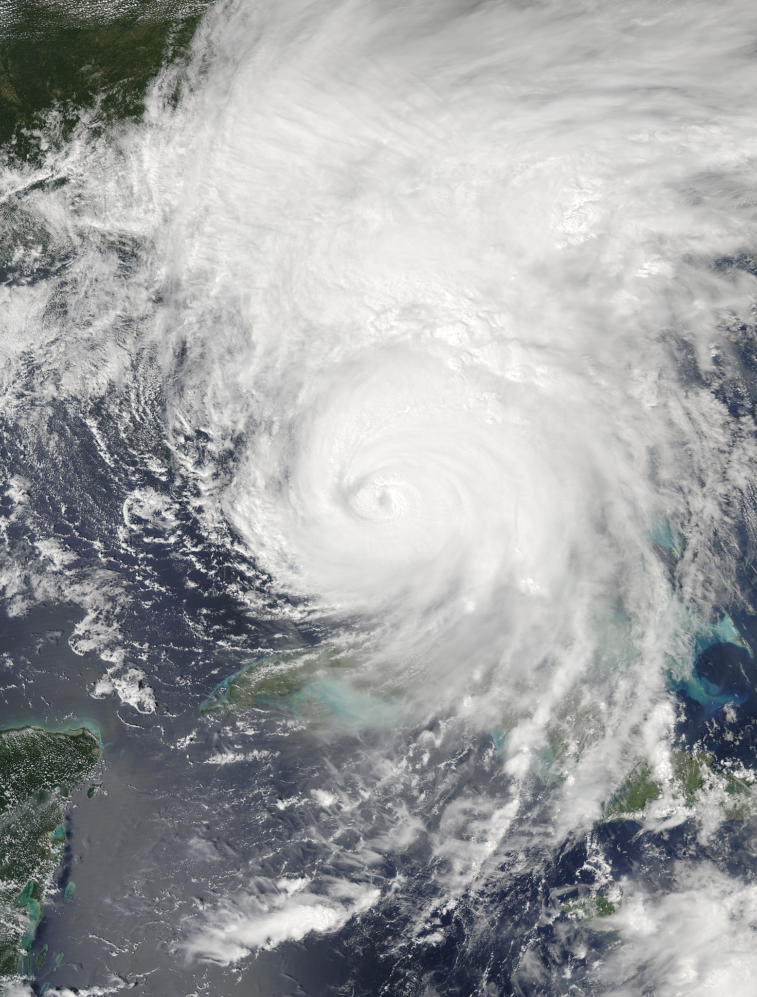
English: Hurricane Irma (11L) over south Florida (Aqua overpass) |
| Date | |
| Source | https://go.nasa.gov/2TN81cC |
| Author | National Aeronautics and Space Administration, LANCE/EOSDIS Rapid Response, captured on Aqua satellite |
| Camera location | | View this and other nearby images on: OpenStreetMap |
|---|
Licensing
[edit]
| This file is in the public domain in the United States because it was solely created by NASA. NASA copyright policy states that "NASA material is not protected by copyright unless noted". (See Template:PD-USGov, NASA copyright policy page or JPL Image Use Policy.) | ||
 |
Warnings:
|
File history
Click on a date/time to view the file as it appeared at that time.
| Date/Time | Thumbnail | Dimensions | User | Comment | |
|---|---|---|---|---|---|
| current | 10:47, 1 November 2019 | | 6,080 × 8,000 (20.11 MB) | Nino Marakot (talk | contribs) | Science quality data |
| 11:39, 27 November 2018 |  | 6,405 × 8,006 (5.21 MB) | Nino Marakot (talk | contribs) | User created page with UploadWizard |
You cannot overwrite this file.
File usage on Commons
The following 2 pages use this file: