File:Iraq-Saudi Arabia Neutral Zone-CIA WFB Map.png
Jump to navigation
Jump to search
No higher resolution available.
Iraq-Saudi_Arabia_Neutral_Zone-CIA_WFB_Map.png (704 × 526 pixels, file size: 186 KB, MIME type: image/png)
Captions
Captions
Add a one-line explanation of what this file represents
Summary
[edit]
| Description | |
| Date | |
| Source | scan at the Internet Archive |
| Author | Directorate of Intelligence, CIA |
| Permission (Reusing this file) |
Public Domain |
Licensing
[edit]
This image is in the public domain because it contains materials that originally came from the United States Central Intelligence Agency's World Factbook.
|
 |
File history
Click on a date/time to view the file as it appeared at that time.
| Date/Time | Thumbnail | Dimensions | User | Comment | |
|---|---|---|---|---|---|
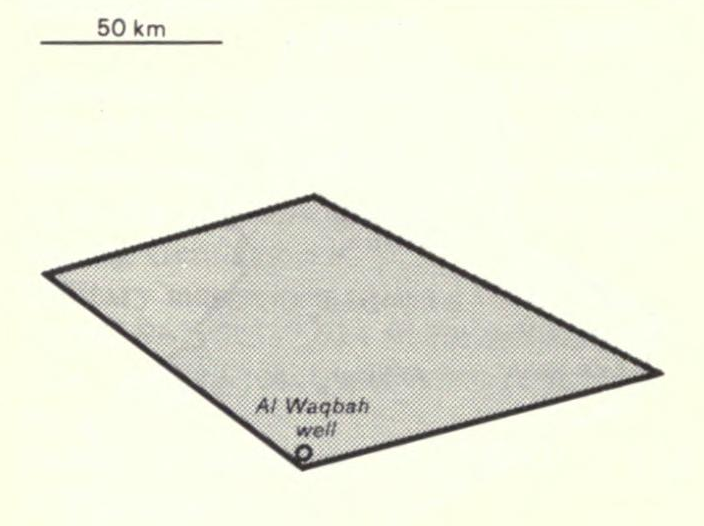
| current | 06:00, 8 February 2010 | | 704 × 526 (186 KB) | Hoshie (talk | contribs) | == Summary == {{Information |Description={{en|Map of {{w|Saudi–Iraqi neutral zone|Iraq - Saudi Arabia Neutral Zone}} from the 1990 {{w|CIA World Factbook}}.}} |Source=[http://www.archive.org/stream/worldfactbook90natiilli#page/150/mode/1up scan at the |
You cannot overwrite this file.
File usage on Commons
The following page uses this file:
_Iraq-Saudi_Arabia_Neutral_Zone.jpg)