File:Iran area.jpg
Jump to navigation
Jump to search
No higher resolution available.
Iran_area.jpg (392 × 392 pixels, file size: 30 KB, MIME type: image/jpeg)
Captions
Captions
Add a one-line explanation of what this file represents
Summary
[edit]
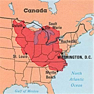
| Description |
English: Area comparison (US-Iran) |
| Date | |
| Source | http://www.lib.utexas.edu/maps/atlas_middle_east/atlas_middle_east.html#iran (direct link) |
| Author | "Atlas of the Middle East", published by the U.S. Central Intelligence Agency. |
Licensing
[edit]
| This image is a work of a Central Intelligence Agency employee, taken or made as part of that person's official duties. As a Work of the United States Government, this image or media is in the public domain in the United States.
|

|
File history
Click on a date/time to view the file as it appeared at that time.
| Date/Time | Thumbnail | Dimensions | User | Comment | |
|---|---|---|---|---|---|
| current | 23:09, 10 September 2012 | | 392 × 392 (30 KB) | Ras67 (talk | contribs) | losslessly cropped with Jpegcrop |
| 00:48, 6 December 2011 |  | 420 × 456 (38 KB) | SSZ (talk | contribs) |
You cannot overwrite this file.
File usage on Commons
There are no pages that use this file.
File usage on other wikis
The following other wikis use this file:
- Usage on ar.wikipedia.org