File:Ipoly ártér Ipolyvarbó.jpg
Jump to navigation
Jump to search

Size of this preview: 800 × 600 pixels. Other resolutions: 320 × 240 pixels | 640 × 480 pixels | 1,024 × 768 pixels | 1,280 × 960 pixels | 2,560 × 1,920 pixels | 4,032 × 3,024 pixels.
Original file (4,032 × 3,024 pixels, file size: 2.79 MB, MIME type: image/jpeg)
Captions
Captions
Floodplain of the Ipeľ / Ipoly river
Summary
[edit]
| Description |
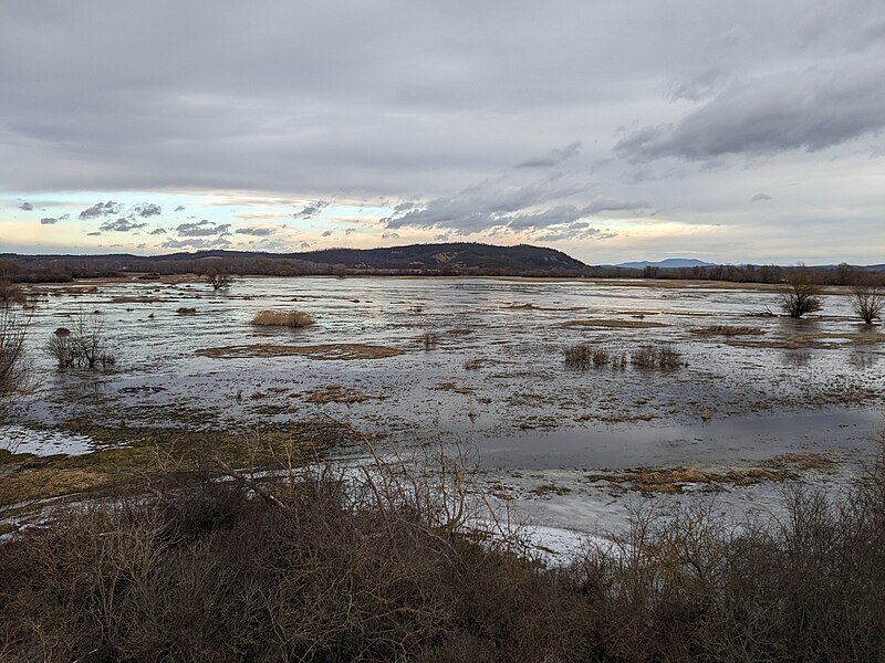
English: Floodplain of the Ipeľ / Ipoly river near Vrbovka (Ipolyvarbó), Slovakia from the lookout tower in January when the lowland hay meadows are flooded. The plain is part of the Natura 2000 protected areas network as part of the Poiplie Special Protection Area (SiteCode: SKCHVU021).
Magyar: Az Ipoly folyó ártere Ipolyvarbónál, kilátás a kilátótoronyból januárban, amikor a folyó menti mocsárréteket víz borítja. A terület Natura 2000 védelem alatt áll a Poiplie Különleges Madárvédelmi Terület (SKCHVU021) részeként. |
| Date | |
| Source | Own work |
| Author | Zello |
| Camera location | | View this and other nearby images on: OpenStreetMap |
|---|
Licensing
[edit]
I, the copyright holder of this work, hereby publish it under the following license:
This file is licensed under the Creative Commons Attribution 4.0 International license.
- You are free:
- to share – to copy, distribute and transmit the work
- to remix – to adapt the work
- Under the following conditions:
- attribution – You must give appropriate credit, provide a link to the license, and indicate if changes were made. You may do so in any reasonable manner, but not in any way that suggests the licensor endorses you or your use.
File history
Click on a date/time to view the file as it appeared at that time.
| Date/Time | Thumbnail | Dimensions | User | Comment | |
|---|---|---|---|---|---|
| current | 22:20, 16 March 2024 | | 4,032 × 3,024 (2.79 MB) | Zello (talk | contribs) | Uploaded own work with UploadWizard |
You cannot overwrite this file.
File usage on Commons
There are no pages that use this file.