File:Indonezja - mapa administracjyjna.png
Jump to navigation
Jump to search

Size of this preview: 800 × 314 pixels. Other resolutions: 320 × 126 pixels | 640 × 251 pixels | 1,024 × 402 pixels | 1,280 × 503 pixels | 4,373 × 1,718 pixels.
Original file (4,373 × 1,718 pixels, file size: 916 KB, MIME type: image/png)
Captions
Captions
Add a one-line explanation of what this file represents
| Description |
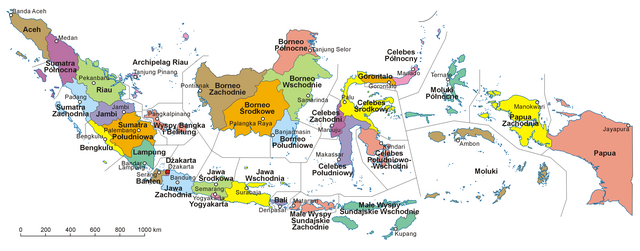
Polski: Mapa administracyjna Indonezji. Autor: Aotearoa |
| Date | 27 January 2013 (last version); 6 October 2006 (first version) |
| Source | Transferred from pl.wikipedia; transferred to Commons by User:Pjahr using CommonsHelper. |
| Author | Original uploader was Aotearoa at pl.wikipedia |
| Permission (Reusing this file) |
Released under the GNU Free Documentation License. |
Licensing
[edit]
Aotearoa at pl.wikipedia, the copyright holder of this work, hereby publishes it under the following license:

|
Permission is granted to copy, distribute and/or modify this document under the terms of the GNU Free Documentation License, Version 1.2 or any later version published by the Free Software Foundation; with no Invariant Sections, no Front-Cover Texts, and no Back-Cover Texts. A copy of the license is included in the section entitled GNU Free Documentation License. |
| This file is licensed under the Creative Commons Attribution-Share Alike 3.0 Unported license. | ||
| Attribution: Aotearoa at pl.wikipedia | ||
| ||
| This licensing tag was added to this file as part of the GFDL licensing update. |
Original upload log
[edit]
The original description page was here. All following user names refer to pl.wikipedia.
File history
Click on a date/time to view the file as it appeared at that time.
| Date/Time | Thumbnail | Dimensions | User | Comment | |
|---|---|---|---|---|---|
| current | 14:19, 27 January 2013 | 4,373 × 1,718 (916 KB) | Aotearoa (talk | contribs) | Nowa prowincja (Borneo Pólnocne) | |
| 21:54, 6 December 2009 | 4,374 × 1,719 (1.05 MB) | File Upload Bot (Magnus Manske) (talk | contribs) | {{BotMoveToCommons|pl.wikipedia|year={{subst:CURRENTYEAR}}|month={{subst:CURRENTMONTHNAME}}|day={{subst:CURRENTDAY}}}} {{Information |Description={{pl|Mapa administracyjna Indonezji. Autor: Aotearoa}} |Source=Transferred from |
You cannot overwrite this file.
File usage on Commons
The following page uses this file:
- File:Indonezja mapa administracjyjna.png (file redirect)
File usage on other wikis
The following other wikis use this file:
- Usage on pl.wikipedia.org
- Usage on pl.wikivoyage.org