File:Indonesia regions map.svg
Jump to navigation
Jump to search

Size of this PNG preview of this SVG file: 483 × 278 pixels. Other resolutions: 320 × 184 pixels | 640 × 368 pixels | 1,024 × 589 pixels | 1,280 × 737 pixels | 2,560 × 1,473 pixels.
Original file (SVG file, nominally 483 × 278 pixels, file size: 2.57 MB)
Captions
Captions
Add a one-line explanation of what this file represents
Summary
[edit]
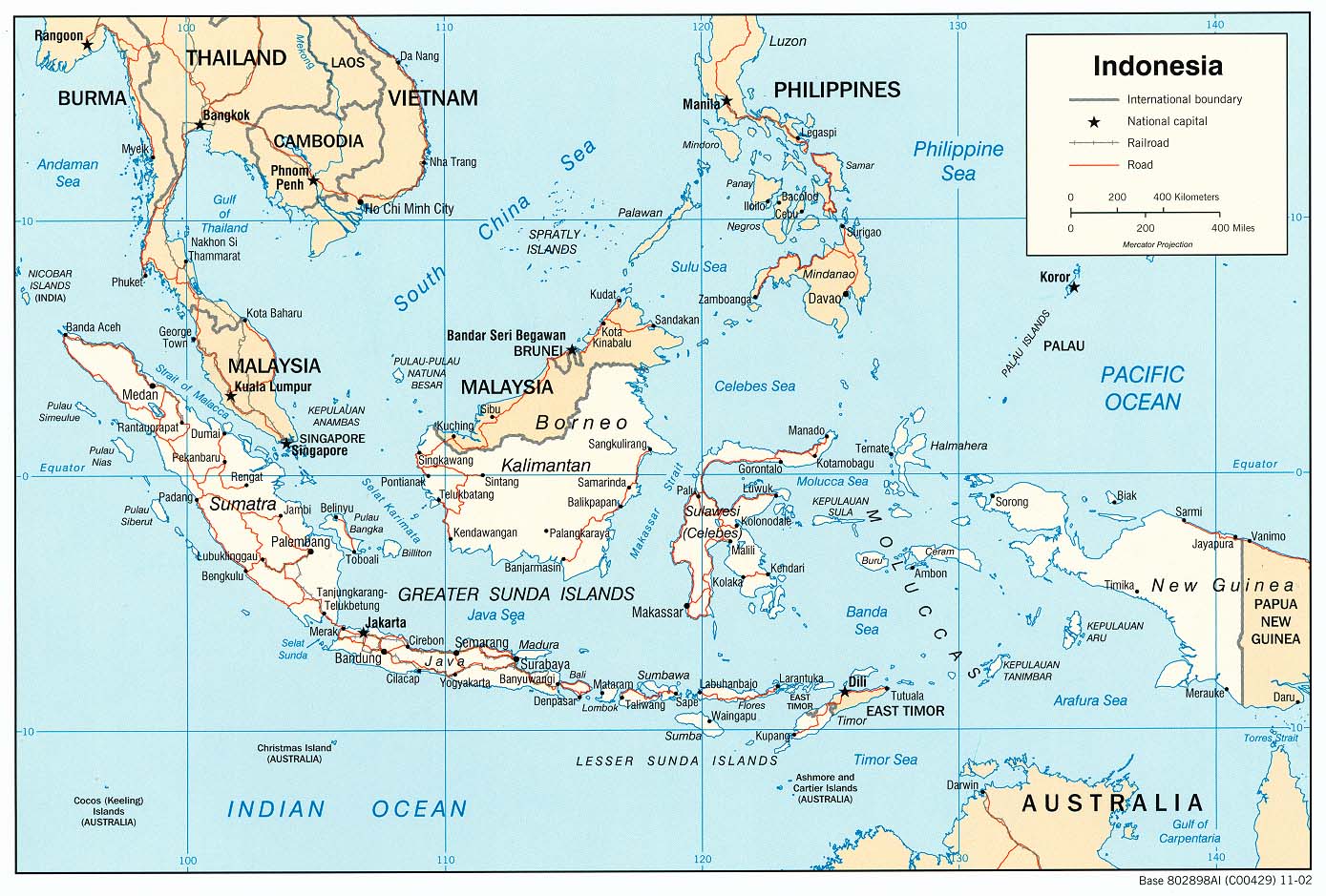
| Description | Indonesia regions map for use on Wikivoyage, multilingual SVG source |
| Date | |
| Source | Own work based on map of Indonesia |
| Author | Peter Fitzgerald, French translation by Joelf |
| Other versions |
PNG files: |
.png)
.png)
.png)
.png)
Licensing
[edit]

|
Permission is granted to copy, distribute and/or modify this document under the terms of the GNU Free Documentation License, Version 1.2 or any later version published by the Free Software Foundation; with no Invariant Sections, no Front-Cover Texts, and no Back-Cover Texts. A copy of the license is included in the section entitled GNU Free Documentation License. |
This file is licensed under the Creative Commons Attribution-Share Alike 4.0 International, 3.0 Unported, 2.5 Generic, 2.0 Generic and 1.0 Generic license.
- You are free:
- to share – to copy, distribute and transmit the work
- to remix – to adapt the work
- Under the following conditions:
- attribution – You must give appropriate credit, provide a link to the license, and indicate if changes were made. You may do so in any reasonable manner, but not in any way that suggests the licensor endorses you or your use.
- share alike – If you remix, transform, or build upon the material, you must distribute your contributions under the same or compatible license as the original.
Original upload log
[edit]
| This file was imported from Wikivoyage WTS. |
The original description page was here. All following user names refer to wts.wikivoyage-old.
- 2009-02-01 21:13 (WT-shared) Peterfitzgerald archive copy at the Wayback Machine 506×598 (1706677 bytes) {{Imagecredit|credit=Peter Fitzgerald|captureDate=28 January 2009|location=Indonesia|source=[http://www.lib.utexas.edu/maps/middle_east_and_ (Import from wikitravel.org/shared)
- 2009-02-01 21:31 (WT-shared) Peterfitzgerald archive copy at the Wayback Machine 506×598 (2708382 bytes) fix goof (Import from wikitravel.org/shared)
- 2009-09-25 16:18 (WT-shared) Peterfitzgerald archive copy at the Wayback Machine 506×598 (2231092 bytes) Bali to top level region (Import from wikitravel.org/shared)
- 2011-08-24 05:22 (WT-shared) Joelf[dead link] 483×278 (2219551 bytes) +fr (Import from wikitravel.org/shared)
File history
Click on a date/time to view the file as it appeared at that time.
| Date/Time | Thumbnail | Dimensions | User | Comment | |
|---|---|---|---|---|---|
| current | 10:11, 7 March 2014 | | 483 × 278 (2.57 MB) | Bennylin (talk | contribs) | +Indonesian translation and some fixing |
| 21:31, 22 November 2012 |  | 483 × 278 (2.12 MB) | OgreBot (talk | contribs) | (BOT): Reverting to most recent version before archival | |
| 21:31, 22 November 2012 |  | 483 × 278 (2.12 MB) | OgreBot (talk | contribs) | (BOT): Reverting to most recent version before archival | |
| 21:31, 22 November 2012 |  | 506 × 598 (2.13 MB) | OgreBot (talk | contribs) | (BOT): Uploading old version of file from wts.wikivoyage-old; originally uploaded on 2009-09-25 16:18:20 by (WT-shared) Peterfitzgerald | |
| 21:31, 22 November 2012 |  | 506 × 598 (2.13 MB) | OgreBot (talk | contribs) | (BOT): Uploading old version of file from wts.wikivoyage-old; originally uploaded on 2009-09-25 16:18:20 by (WT-shared) Peterfitzgerald | |
| 21:31, 22 November 2012 |  | 506 × 598 (2.58 MB) | OgreBot (talk | contribs) | (BOT): Uploading old version of file from wts.wikivoyage-old; originally uploaded on 2009-02-01 21:31:02 by (WT-shared) Peterfitzgerald | |
| 21:31, 22 November 2012 |  | 506 × 598 (2.58 MB) | OgreBot (talk | contribs) | (BOT): Uploading old version of file from wts.wikivoyage-old; originally uploaded on 2009-02-01 21:31:02 by (WT-shared) Peterfitzgerald | |
| 21:31, 22 November 2012 |  | 506 × 598 (1.63 MB) | OgreBot (talk | contribs) | (BOT): Uploading old version of file from wts.wikivoyage-old; originally uploaded on 2009-02-01 21:13:14 by (WT-shared) Peterfitzgerald | |
| 21:31, 22 November 2012 |  | 506 × 598 (1.63 MB) | OgreBot (talk | contribs) | (BOT): Uploading old version of file from wts.wikivoyage-old; originally uploaded on 2009-02-01 21:13:14 by (WT-shared) Peterfitzgerald | |
| 00:09, 18 November 2012 |  | 483 × 278 (2.12 MB) | MGA73bot2 (talk | contribs) | {{BotMoveToCommons|wts.oldwikivoyage|year={{subst:CURRENTYEAR}}|month={{subst:CURRENTMONTHNAME}}|day={{subst:CURRENTDAY}}}} == {{int:filedesc}} == {{Information |description=Indonesia regions map. SVG, Indonesia * Map of: Indonesia¤ |date=28 January 2... |
You cannot overwrite this file.
File usage on Commons
The following page uses this file:
File usage on other wikis
The following other wikis use this file:
- Usage on fa.wikipedia.org