File:Indiana land survey marker.png
Jump to navigation
Jump to search
Size of this preview: 400 × 600 pixels. Other resolutions: 160 × 240 pixels | 320 × 480 pixels | 512 × 768 pixels | 682 × 1,024 pixels | 2,000 × 3,000 pixels.
Original file (2,000 × 3,000 pixels, file size: 10.45 MB, MIME type: image/png)
Captions
Captions
Add a one-line explanation of what this file represents
Summary
[edit]
| Description | |
| Date | Taken on 24 August 2008 |
| Source | Own work |
| Author | Huw Williams (Huwmanbeing) |
| Camera location | | View this and other nearby images on: OpenStreetMap |
|---|
Licensing
[edit]
| I, the copyright holder of this work, release this work into the public domain. This applies worldwide. In some countries this may not be legally possible; if so: I grant anyone the right to use this work for any purpose, without any conditions, unless such conditions are required by law. |
File history
Click on a date/time to view the file as it appeared at that time.
| Date/Time | Thumbnail | Dimensions | User | Comment | |
|---|---|---|---|---|---|
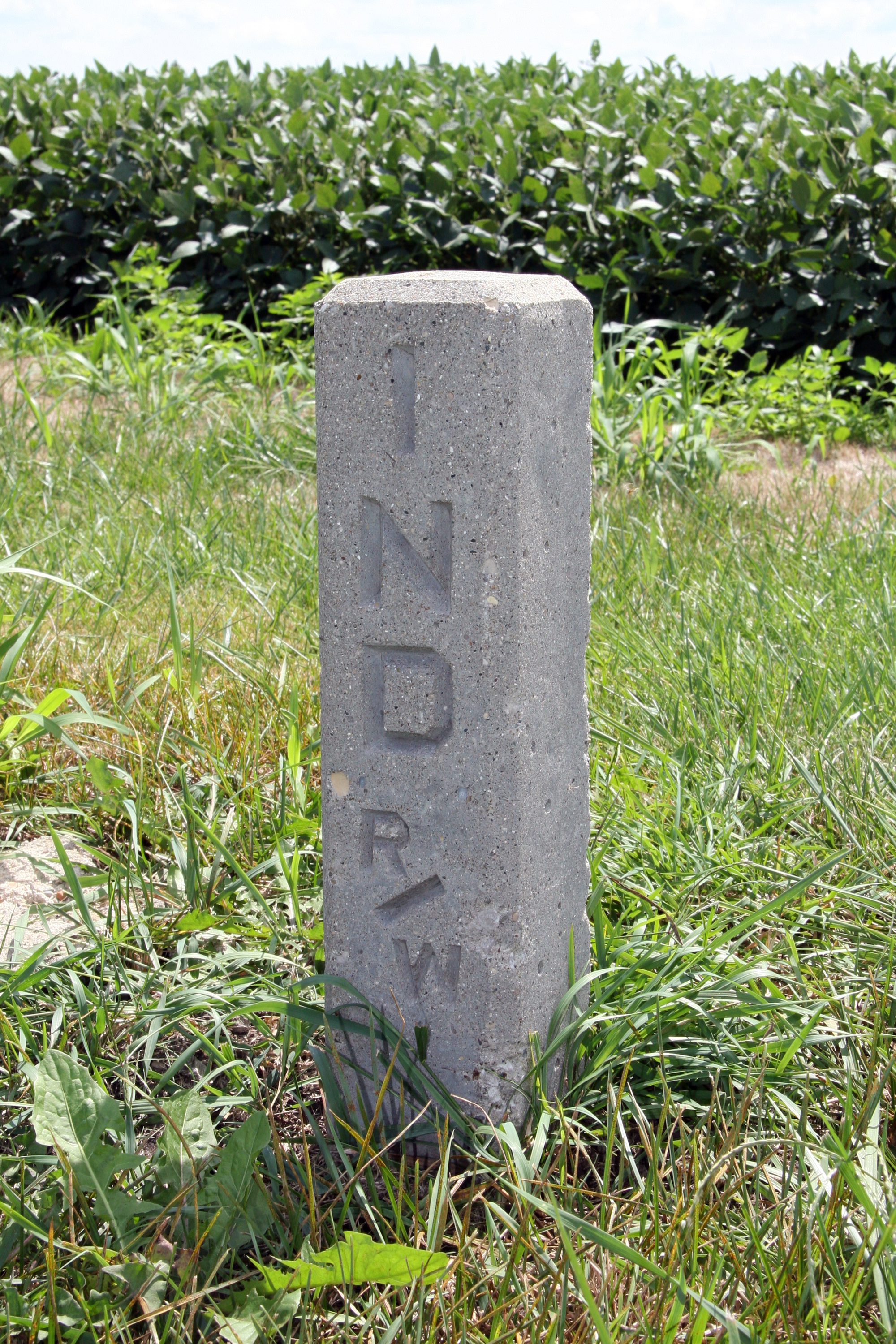
| current | 01:33, 26 August 2008 | | 2,000 × 3,000 (10.45 MB) | Huwmanbeing (talk | contribs) | {{Information |Description={{en|1=A {{w|Public Land Survey System}} marker along {{w|Indiana State Road 18}} west of {{w|Fowler, Indiana}}.}} |Source=Own work by uploader |Author=Huwmanbeing |Date=2008-08-24 |Permission= |other_versio |
You cannot overwrite this file.
File usage on Commons
There are no pages that use this file.
File usage on other wikis
The following other wikis use this file:
- Usage on ja.wikipedia.org