File:India Manipur location map.svg
Jump to navigation
Jump to search

Size of this PNG preview of this SVG file: 572 × 599 pixels. Other resolutions: 229 × 240 pixels | 458 × 480 pixels | 733 × 768 pixels | 977 × 1,024 pixels | 1,955 × 2,048 pixels | 862 × 903 pixels.
Original file (SVG file, nominally 862 × 903 pixels, file size: 212 KB)
Captions
Captions
Add a one-line explanation of what this file represents
Summary
[edit]
| Description |
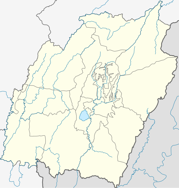
Location map of Manipur Geographic limits of the map:
|
| Date | |
| Source | |
| Author |
|
Licensing
[edit]
I, the copyright holder of this work, hereby publish it under the following license:
This file is licensed under the Creative Commons Attribution-Share Alike 3.0 Unported license.
- You are free:
- to share – to copy, distribute and transmit the work
- to remix – to adapt the work
- Under the following conditions:
- attribution – You must give appropriate credit, provide a link to the license, and indicate if changes were made. You may do so in any reasonable manner, but not in any way that suggests the licensor endorses you or your use.
- share alike – If you remix, transform, or build upon the material, you must distribute your contributions under the same or compatible license as the original.
File history
Click on a date/time to view the file as it appeared at that time.
| Date/Time | Thumbnail | Dimensions | User | Comment | |
|---|---|---|---|---|---|
| current | 17:14, 11 May 2021 | | 862 × 903 (212 KB) | C1MM (talk | contribs) | Corrected some loose boundaries |
| 16:32, 11 May 2021 |  | 862 × 903 (214 KB) | C1MM (talk | contribs) | Corrected rivers and district boundaries | |
| 01:29, 24 February 2021 |  | 612 × 641 (261 KB) | C1MM (talk | contribs) | Corrected districts and river boundaries | |
| 06:29, 17 December 2020 |  | 575 × 652 (124 KB) | C1MM (talk | contribs) | Added new districts | |
| 03:49, 2 May 2020 |  | 575 × 652 (83 KB) | C1MM (talk | contribs) | Added other state boundaries | |
| 15:31, 7 July 2014 |  | 575 × 652 (77 KB) | Milenioscuro (talk | contribs) | User created page with UploadWizard |
You cannot overwrite this file.
File usage on Commons
The following 17 pages use this file:
- Atlas of Manipur
- Category:Airports in Manipur
- Category:Archaeological sites in Manipur
- Category:Births in Manipur
- Category:Education in Manipur
- Category:Flora of Manipur
- Category:Geography of Manipur
- Category:Hills of Manipur
- Category:Lakes of Manipur
- Category:Manipur
- Category:Maps of Manipur
- Category:People of Manipur
- Category:Populated places in Manipur
- Category:Rivers of Manipur
- Category:Roads in Manipur
- Category:Temples in Manipur
- Category:Transport in Manipur
File usage on other wikis
The following other wikis use this file:
- Usage on azb.wikipedia.org
- فونقیار
- فونقچام
- فاینق (هیندوستان)
- فارونق
- فالی (هیندوستان)
- سارکافونق
- کالهانق
- سانقایکوت
- مارم (هیندوستان)
- کایرمبیخوک, مانیپور
- ماپوم (هیندوستان)
- ساجیک تامپاک
- کاچای (هیندوستان)
- رینقوی رامهون
- ریها, مانیپور
- رازای, یوخرول
- سومدال
- جسامی (هیندوستان)
- سکیپ (هیندوستان)
- سیراراخونق
- سیپویکاون
- راموا (هیندوستان)
- ماکو, یوخرول
- سیهای, مانیپور
- شوکوو (هیندوستان)
- شیروی (هیندوستان)
- ایتام (هیندوستان)
- شینقکاپ
- شینقچا
- شانقشاک
- لونقشانق
- لونقفا
- لونقار
- لونقپی
- پوشینق یوخرول
- هونقپونق
- هویشو (هیندوستان)
- زینقسوی
- سئیخور
- ینقتم (هیندوستان)
- هاتا, یوخرول
- وانقو (هیندوستان)
- هانقکاو
- پوی, یوخرول
- هالانق, یوخرول
- پنیل, مانیپور
- په (هیندوستان)
- قریهانق
- قوداه, یوخرول
- تونقو (هیندوستان)
View more global usage of this file.