File:Index to Aerial Photography of Union County, South Dakota 3 - DPLA - 5e1b0a323ac7445dbc878bd53745979b.jpg
Jump to navigation
Jump to search

Size of this preview: 496 × 599 pixels. Other resolutions: 199 × 240 pixels | 397 × 480 pixels | 636 × 768 pixels | 848 × 1,024 pixels | 1,696 × 2,048 pixels | 2,981 × 3,600 pixels.
Original file (2,981 × 3,600 pixels, file size: 773 KB, MIME type: image/jpeg)
Captions
Captions
Add a one-line explanation of what this file represents
Summary
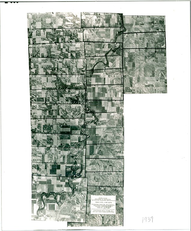
[edit]| Index to Aerial Photography of Union County, South Dakota 3
( |
||||||||||||||
|---|---|---|---|---|---|---|---|---|---|---|---|---|---|---|
| Creator | Department of Agriculture. Commodity Stabilization Service. Aerial Photography Field Office. ca. 1953-1961 | |||||||||||||
| Title |
Index to Aerial Photography of Union County, South Dakota 3 |
|||||||||||||
| Date | 1937 | |||||||||||||
| Collection |
|
|||||||||||||
| Source/Photographer |
|
|||||||||||||
| Permission (Reusing this file) |
|
|||||||||||||
| Standardized rights statement |
|
|||||||||||||


File history
Click on a date/time to view the file as it appeared at that time.
| Date/Time | Thumbnail | Dimensions | User | Comment | |
|---|---|---|---|---|---|
| current | 09:23, 20 November 2020 | | 2,981 × 3,600 (773 KB) | DPLA bot (talk | contribs) | Uploading DPLA ID 5e1b0a323ac7445dbc878bd53745979b |
You cannot overwrite this file.
File usage on Commons
The following page uses this file: