File:Imitzberg, Haller Mauern.jpg
Jump to navigation
Jump to search

Size of this preview: 800 × 460 pixels. Other resolutions: 320 × 184 pixels | 640 × 368 pixels | 1,024 × 589 pixels | 1,280 × 737 pixels | 2,560 × 1,473 pixels | 4,476 × 2,576 pixels.
Original file (4,476 × 2,576 pixels, file size: 7.5 MB, MIME type: image/jpeg)
Captions
Captions
Add a one-line explanation of what this file represents
Summary
[edit]| Description |
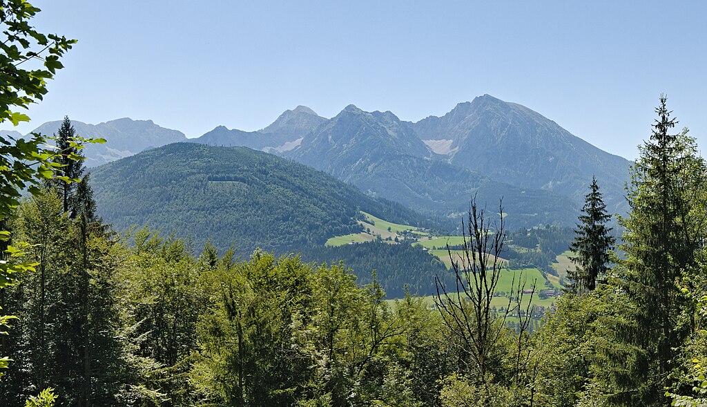
Deutsch: Blick von der Straße zum Haslersgatter in Rosenau am Hengstpaß zum Imitzberg, dahinter die Haller Mauern.
English: View from the road to the Haslersgatter in Rosenau am Hengstpaß. |
| Date | |
| Source | Own work |
| Author | Leonhard Lenz |
| Other versions |

| Camera location | | View this and other nearby images on: OpenStreetMap |
|---|
Licensing
[edit]
I, the copyright holder of this work, hereby publish it under the following license:
| This file is made available under the Creative Commons CC0 1.0 Universal Public Domain Dedication. | |
| The person who associated a work with this deed has dedicated the work to the public domain by waiving all of their rights to the work worldwide under copyright law, including all related and neighboring rights, to the extent allowed by law. You can copy, modify, distribute and perform the work, even for commercial purposes, all without asking permission.
|
| Annotations | This image is annotated: View the annotations at Commons |
File history
Click on a date/time to view the file as it appeared at that time.
| Date/Time | Thumbnail | Dimensions | User | Comment | |
|---|---|---|---|---|---|
| current | 08:19, 21 August 2023 | | 4,476 × 2,576 (7.5 MB) | Herzi Pinki (talk | contribs) | File:View from road to Haslersgatter in Rosenau am Hengstpaß 2022-08-04 04.jpg cropped 47 % horizontally, 54 % vertically using CropTool with precise mode. |
You cannot overwrite this file.
File usage on Commons
The following 2 pages use this file:
File usage on other wikis
The following other wikis use this file:
- Usage on ceb.wikipedia.org
- Usage on de.wikipedia.org
- Usage on www.wikidata.org