File:Illinois, Galatia quadrangle - topography - DPLA - 96ccc7d6b3e6f00b8c1f1b5e41057ab8.jpg
Jump to navigation
Jump to search
Size of this preview: 501 × 599 pixels. Other resolutions: 201 × 240 pixels | 401 × 480 pixels | 836 × 1,000 pixels.
Original file (836 × 1,000 pixels, file size: 234 KB, MIME type: image/jpeg)
Captions
Captions
Add a one-line explanation of what this file represents
Summary
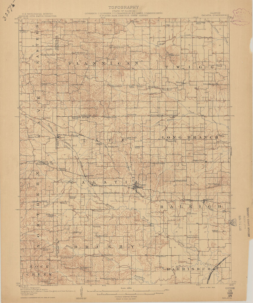
[edit]| Illinois, Galatia quadrangle : topography
( |
|||||||||||||||||||||
|---|---|---|---|---|---|---|---|---|---|---|---|---|---|---|---|---|---|---|---|---|---|
| Creator | Geological Survey (U.S.) | ||||||||||||||||||||
| Title |
Illinois, Galatia quadrangle : topography |
||||||||||||||||||||
| Description |
1 map, colored; Relief indicated by contours and spot heights.; Surveyed in cooperation with the State of Illinois.; Surveyed in 1906.; Contour interval 20 feet.; Scale 1:62,500 |
||||||||||||||||||||
| Date | 1908 | ||||||||||||||||||||
| Collection |
|
||||||||||||||||||||
| Source/Photographer |
|
||||||||||||||||||||
| Permission (Reusing this file) |
|
||||||||||||||||||||
| Standardized rights statement |
|
||||||||||||||||||||


File history
Click on a date/time to view the file as it appeared at that time.
| Date/Time | Thumbnail | Dimensions | User | Comment | |
|---|---|---|---|---|---|
| current | 16:25, 4 November 2022 | | 836 × 1,000 (234 KB) | DPLA bot (talk | contribs) | Uploading DPLA ID 96ccc7d6b3e6f00b8c1f1b5e41057ab8 |
You cannot overwrite this file.
File usage on Commons
The following page uses this file: