File:Ilhéu do Farol location map.svg
Jump to navigation
Jump to search

Size of this PNG preview of this SVG file: 698 × 599 pixels. Other resolutions: 280 × 240 pixels | 559 × 480 pixels | 895 × 768 pixels | 1,193 × 1,024 pixels | 2,386 × 2,048 pixels | 1,590 × 1,365 pixels.
Original file (SVG file, nominally 1,590 × 1,365 pixels, file size: 74 KB)
Captions
Captions
Add a one-line explanation of what this file represents
Summary
[edit]
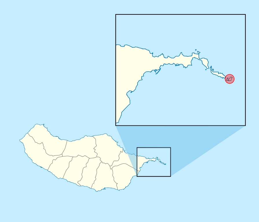
| Description | Ilhéu_do_Farol_location_map | ||||||||||||
| Date | |||||||||||||
| Source | Own work | ||||||||||||
| Author | Willtron | ||||||||||||
| Permission (Reusing this file) |
|
File history
Click on a date/time to view the file as it appeared at that time.
| Date/Time | Thumbnail | Dimensions | User | Comment | |
|---|---|---|---|---|---|
| current | 22:25, 22 June 2011 | | 1,590 × 1,365 (74 KB) | Willtron (talk | contribs) | == {{int:filedesc}} == {{Information |Description=Ilhéu_do_Farol_location_map |Source={{Own}} |Date=2009-12-19 |Author={{U|Willtron}} |Permission={{OpenStreetMap}} |other_versions= }} Category:Ponta de São Lourenço Category:Maps of Madeira |
You cannot overwrite this file.
File usage on Commons
The following page uses this file:
File usage on other wikis
The following other wikis use this file:
- Usage on an.wikipedia.org
- Usage on de.wikipedia.org
- Usage on en.wikipedia.org
- Usage on nl.wikipedia.org
- Usage on pt.wikipedia.org