File:Igreja Matriz de Nossa Senhora da Conceição, Pau dos Ferros (RN).JPG
Jump to navigation
Jump to search

Size of this preview: 642 × 599 pixels. Other resolutions: 257 × 240 pixels | 514 × 480 pixels | 823 × 768 pixels | 1,097 × 1,024 pixels | 2,194 × 2,048 pixels | 3,000 × 2,800 pixels.
Original file (3,000 × 2,800 pixels, file size: 1.28 MB, MIME type: image/jpeg)
Captions
Captions
Add a one-line explanation of what this file represents
Summary
[edit]| Description |
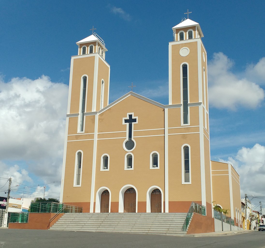
Português: Vista frontal da Igreja Matriz de Nossa Senhora da Conceição, da Diocese de Santa Luzia de Mossoró, no centro de Pau dos Ferros, Rio Grande do Norte (Brasil). |
|||
| Date | ||||
| Source | Own work | |||
| Author |
by Marcos Elias de Oliveira Júnior talk! + (contact here) |
|||
| Permission (Reusing this file) |
I, the copyright holder of this work, hereby publish it under the following license:
|
|||
| Other versions |
|
.jpg)
.JPG&action=edit§ion=1)
| Camera location | | View this and other nearby images on: OpenStreetMap |
|---|
.JPG¶ms=-06.112459_N_-038.204965_E_globe:Earth_type:camera__&language=en)
File history
Click on a date/time to view the file as it appeared at that time.
| Date/Time | Thumbnail | Dimensions | User | Comment | |
|---|---|---|---|---|---|
| current | 19:53, 11 June 2017 | | 3,000 × 2,800 (1.28 MB) | Marquinhos (talk | contribs) | |
| 16:58, 25 June 2016 |  | 2,650 × 2,300 (1.37 MB) | Marquinhos (talk | contribs) | ||
| 16:26, 14 March 2015 |  | 993 × 1,108 (328 KB) | Marquinhos (talk | contribs) | User created page with UploadWizard |
You cannot overwrite this file.
File usage on Commons
The following 2 pages use this file:
File usage on other wikis
The following other wikis use this file:
- Usage on pt.wikipedia.org
- Usage on www.wikidata.org
.JPG&oldid=763571117)