File:Icknield Way, Lewknor.jpg
Jump to navigation
Jump to search
No higher resolution available.
Icknield_Way,_Lewknor.jpg (640 × 480 pixels, file size: 111 KB, MIME type: image/jpeg)
Captions
Captions
Add a one-line explanation of what this file represents
Summary
[edit]
| Description |
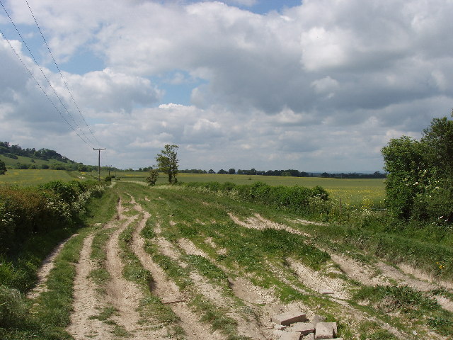
English: Icknield Way by Hill Farm, Lewknor Icknield way runs below the Chilterns' Scarp, and forms part of The Ridgeway Long Distance Path. |
| Date | |
| Source | From geograph.org.uk |
| Author | David Hawgood |
| Camera location | | View this and other nearby images on: OpenStreetMap |
|---|
Licensing
[edit]

|
This image was taken from the Geograph project collection. See this photograph's page on the Geograph website for the photographer's contact details. The copyright on this image is owned by David Hawgood and is licensed for reuse under the Creative Commons Attribution-ShareAlike 2.0 license.
|
This file is licensed under the Creative Commons Attribution-Share Alike 2.0 Generic license.
Attribution: David Hawgood
- You are free:
- to share – to copy, distribute and transmit the work
- to remix – to adapt the work
- Under the following conditions:
- attribution – You must give appropriate credit, provide a link to the license, and indicate if changes were made. You may do so in any reasonable manner, but not in any way that suggests the licensor endorses you or your use.
- share alike – If you remix, transform, or build upon the material, you must distribute your contributions under the same or compatible license as the original.
File history
Click on a date/time to view the file as it appeared at that time.
| Date/Time | Thumbnail | Dimensions | User | Comment | |
|---|---|---|---|---|---|
| current | 17:38, 6 April 2008 | | 640 × 480 (111 KB) | Seth Whales (talk | contribs) | {{Information |Description= Icknield Way, Lewknor, Oxfordshire, Great Britain. |Source= Geograph British Isles [http://www.geograph.org.uk/photo/14375 Original image] |Date= 31 May 2005 |Author= David Hawgood [http://www.geograph.org.uk/profile/560 Prof |
You cannot overwrite this file.
File usage on Commons
There are no pages that use this file.
File usage on other wikis
The following other wikis use this file:
- Usage on de.wikipedia.org
- Usage on en.wikipedia.org
- Usage on it.wikipedia.org
- Usage on ja.wikipedia.org
- Usage on www.wikidata.org