File:Iceland Mexico Locator.png
Jump to navigation
Jump to search

Size of this preview: 800 × 455 pixels. Other resolutions: 320 × 182 pixels | 640 × 364 pixels | 1,260 × 716 pixels.
Original file (1,260 × 716 pixels, file size: 65 KB, MIME type: image/png)
Captions
Captions
Add a one-line explanation of what this file represents
Summary
[edit]
| Description |
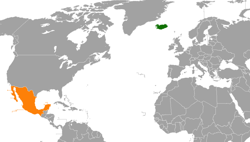
English: A map showing the locations of Iceland and Mexico, created by me using MS paint and existing public domain map (Armenia USA Locator.png) as a template. |
| Date | |
| Source | Own work |
| Author | FeydHuxtable |
Useful for the bilateral relations article of the two countries
Licensing
[edit]
| I, the copyright holder of this work, release this work into the public domain. This applies worldwide. In some countries this may not be legally possible; if so: I grant anyone the right to use this work for any purpose, without any conditions, unless such conditions are required by law. |
File history
Click on a date/time to view the file as it appeared at that time.
| Date/Time | Thumbnail | Dimensions | User | Comment | |
|---|---|---|---|---|---|
| current | 22:06, 22 April 2018 | | 1,260 × 716 (65 KB) | Aquintero82 (talk | contribs) | Updated map |
| 08:34, 18 November 2014 |  | 1,425 × 625 (57 KB) | Aquintero82 (talk | contribs) | Updated map | |
| 15:16, 14 May 2010 |  | 1,357 × 628 (52 KB) | FeydHuxtable~commonswiki (talk | contribs) | {{Information |Description={{en|1=A map showing the locations of Iceland and Mexico, created by me using MS paint and existing public domain map (Armenia USA Locator.png) as a template. }} |Source={{own}} |Author=FeydHuxtable |Date=2 |
You cannot overwrite this file.
File usage on Commons
The following page uses this file:
File usage on other wikis
The following other wikis use this file:
- Usage on en.wikipedia.org
- Usage on es.wikipedia.org
- Usage on fa.wikipedia.org
- Usage on he.wikipedia.org
- Usage on www.wikidata.org