File:IMGP0444 Inshinnan Bridge v1.png
Jump to navigation
Jump to search
Size of this preview: 800 × 494 pixels. Other resolutions: 320 × 198 pixels | 640 × 395 pixels | 1,024 × 633 pixels | 1,280 × 791 pixels | 2,560 × 1,582 pixels | 4,164 × 2,573 pixels.
Original file (4,164 × 2,573 pixels, file size: 47.59 MB, MIME type: image/png)
Captions
Captions
Add a one-line explanation of what this file represents
Summary
[edit]
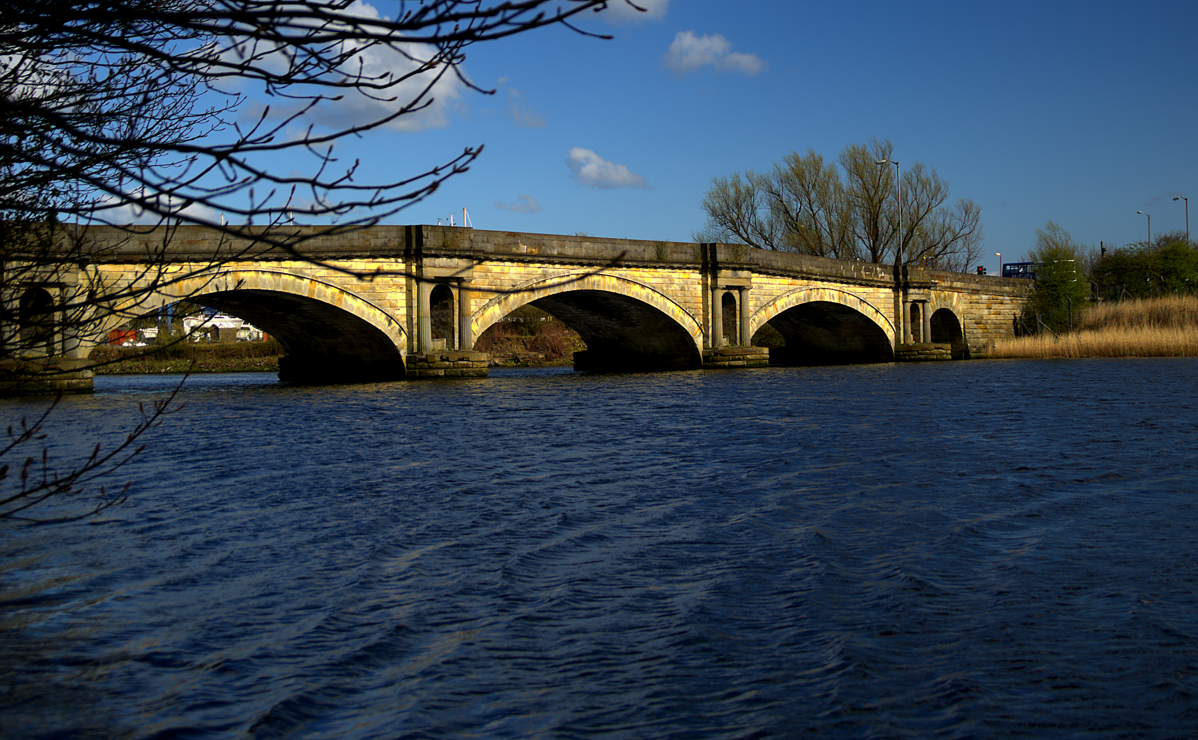
| Description | Inshinnan Bridge on black cart |
| Date | |
| Source | Own work |
| Author | Ian Robertson |
| Camera location | | View this and other nearby images on: OpenStreetMap |
|---|
Licensing
[edit]
I, the copyright holder of this work, hereby publish it under the following license:
This file is licensed under the Creative Commons Attribution 3.0 Unported license.
- You are free:
- to share – to copy, distribute and transmit the work
- to remix – to adapt the work
- Under the following conditions:
- attribution – You must give appropriate credit, provide a link to the license, and indicate if changes were made. You may do so in any reasonable manner, but not in any way that suggests the licensor endorses you or your use.
File history
Click on a date/time to view the file as it appeared at that time.
| Date/Time | Thumbnail | Dimensions | User | Comment | |
|---|---|---|---|---|---|
| current | 10:15, 6 May 2013 | | 4,164 × 2,573 (47.59 MB) | Iroberts696 (talk | contribs) | Upload via KIPI uploader |
You cannot overwrite this file.
File usage on Commons
The following 2 pages use this file:
- File:IMGP0444 v1.PNG (file redirect)
- Category:Black Cart Bridge, Inchinnan
File usage on other wikis
The following other wikis use this file:
- Usage on de.wikipedia.org
- Usage on en.wikipedia.org
- Usage on www.wikidata.org