File:ILroute-38.png
Jump to navigation
Jump to search
Size of this preview: 582 × 599 pixels. Other resolutions: 233 × 240 pixels | 466 × 480 pixels | 932 × 960 pixels.
Original file (932 × 960 pixels, file size: 621 KB, MIME type: image/png)
Captions
Captions
Add a one-line explanation of what this file represents
Summary
[edit]
| Description |
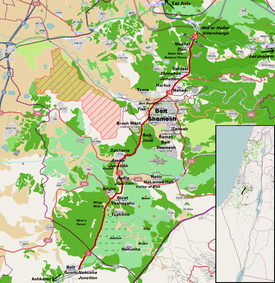
English: Israel Highway 38, higlighted in red |
| Date | |
| Source | OpenStreetMap |
| Author | additions and English labels by Atefrat |
| Permission (Reusing this file) |
The original map is made available under the Open Database License: http://opendatacommons.org/licenses/odbl/1.0/. |
Licensing
[edit]
This file is licensed under the Creative Commons Attribution-Share Alike 3.0 Unported license.
- You are free:
- to share – to copy, distribute and transmit the work
- to remix – to adapt the work
- Under the following conditions:
- attribution – You must give appropriate credit, provide a link to the license, and indicate if changes were made. You may do so in any reasonable manner, but not in any way that suggests the licensor endorses you or your use.
- share alike – If you remix, transform, or build upon the material, you must distribute your contributions under the same or compatible license as the original.
File history
Click on a date/time to view the file as it appeared at that time.
| Date/Time | Thumbnail | Dimensions | User | Comment | |
|---|---|---|---|---|---|
| current | 11:13, 1 September 2013 | | 932 × 960 (621 KB) | Atefrat (talk | contribs) | color |
| 05:14, 13 August 2013 |  | 932 × 960 (621 KB) | Atefrat (talk | contribs) | inset for wider context | |
| 04:25, 7 June 2013 |  | 932 × 960 (613 KB) | Atefrat (talk | contribs) | labels | |
| 10:19, 6 June 2013 |  | 932 × 960 (605 KB) | Atefrat (talk | contribs) | User created page with UploadWizard |
You cannot overwrite this file.
File usage on Commons
The following page uses this file:
File usage on other wikis
The following other wikis use this file:
- Usage on www.wikidata.org