File:Hydrangeas planted along Kabegawa.jpg
Jump to navigation
Jump to search

Size of this preview: 800 × 600 pixels. Other resolutions: 320 × 240 pixels | 640 × 480 pixels | 1,024 × 768 pixels | 1,280 × 960 pixels | 2,560 × 1,920 pixels.
Original file (2,560 × 1,920 pixels, file size: 1.46 MB, MIME type: image/jpeg)
Captions
Captions
Add a one-line explanation of what this file represents
Summary
[edit]
| Description |
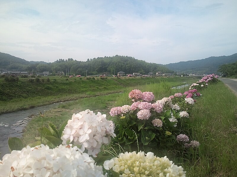
English: Hydrangeas planted along Kabegawa.
Near HiroseBashi,Zōta korehiro, Sanuki-shi,Kagawa prefecture,Japan.
日本語: 鴨部川沿いに植えられた紫陽花。
香川県さぬき市造田是弘 広瀬橋付近。 |
| Date | |
| Source | Own work |
| Author | 御門桜(MIKADO, Sakura) |
| Camera location | | View this and other nearby images on: OpenStreetMap |
|---|
Licensing
[edit]
I, the copyright holder of this work, hereby publish it under the following license:
This file is licensed under the Creative Commons Attribution-Share Alike 3.0 Unported license.
- You are free:
- to share – to copy, distribute and transmit the work
- to remix – to adapt the work
- Under the following conditions:
- attribution – You must give appropriate credit, provide a link to the license, and indicate if changes were made. You may do so in any reasonable manner, but not in any way that suggests the licensor endorses you or your use.
- share alike – If you remix, transform, or build upon the material, you must distribute your contributions under the same or compatible license as the original.
File history
Click on a date/time to view the file as it appeared at that time.
| Date/Time | Thumbnail | Dimensions | User | Comment | |
|---|---|---|---|---|---|
| current | 15:13, 30 June 2010 | | 2,560 × 1,920 (1.46 MB) | 御門桜 (talk | contribs) | {{Information |Description={{en|1=Hydrangeas planted along Kabegawa. Near HiroseBashi,Zōta korehiro, Sanuki-shi,Kagawa prefecture,Japan.}} {{ja|1=鴨部川沿いに植えられた紫陽花。 香川県さぬき市造田是弘 広瀬橋付近。}} |Source |
You cannot overwrite this file.
File usage on Commons
The following page uses this file:
File usage on other wikis
The following other wikis use this file:
- Usage on ja.wikipedia.org