File:Hungary relief location map.jpg
Jump to navigation
Jump to search
No higher resolution available.
Hungary_relief_location_map.jpg (700 × 466 pixels, file size: 197 KB, MIME type: image/jpeg)
Captions
Captions
Add a one-line explanation of what this file represents
Summary
[edit]| Description |
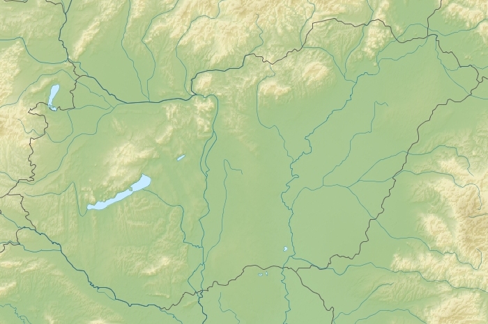
English: Relief location map of Hungary.
|
| Date | |
| Source | |
| Author | Uwe Dedering & Maoman |

Licensing
[edit]
This file is licensed under the Creative Commons Attribution-Share Alike 3.0 Unported license.
- You are free:
- to share – to copy, distribute and transmit the work
- to remix – to adapt the work
- Under the following conditions:
- attribution – You must give appropriate credit, provide a link to the license, and indicate if changes were made. You may do so in any reasonable manner, but not in any way that suggests the licensor endorses you or your use.
- share alike – If you remix, transform, or build upon the material, you must distribute your contributions under the same or compatible license as the original.
File history
Click on a date/time to view the file as it appeared at that time.
| Date/Time | Thumbnail | Dimensions | User | Comment | |
|---|---|---|---|---|---|
| current | 15:34, 16 April 2012 | | 700 × 466 (197 KB) | Maoman (talk | contribs) |
You cannot overwrite this file.
File usage on Commons
There are no pages that use this file.
File usage on other wikis
The following other wikis use this file:
- Usage on cs.wikipedia.org
- Usage on de.wikipedia.org
- Usage on eo.wikipedia.org
- Budapeŝto
- Balatono
- Szeged
- Veszprém
- Szabolcs-Szatmár-Bereg
- Bács-Kiskun
- Baranya
- Borsod-Abaúj-Zemplén
- Nógrád
- Heves
- Jász-Nagykun-Szolnok
- Pest
- Komárom-Esztergom
- Győr-Moson-Sopron
- Csongrád-Csanád
- Esztergom
- Nyíregyháza
- Komárom
- Sátoraljaújhely
- Mezőkövesd
- Ököritófülpös
- Kardos
- Eperjes
- Füzér
- Fülpösdaróc
- Ramocsaháza
- Újpest
- Ŝablono:Geokesto lokumilo Hungario
- Lago de Cibakháza
- Banlago de Bodajk
- Lago de Fadd
- Usage on hu.wikipedia.org
- Usage on rue.wikipedia.org
- Usage on sk.wikipedia.org
- Usage on vec.wikipedia.org
- Usage on zh.wikipedia.org