File:Humber River from Raymore Park.jpg
Jump to navigation
Jump to search
Size of this preview: 800 × 531 pixels. Other resolutions: 320 × 213 pixels | 640 × 425 pixels | 1,024 × 680 pixels | 1,280 × 850 pixels | 2,560 × 1,700 pixels | 4,288 × 2,848 pixels.
Original file (4,288 × 2,848 pixels, file size: 3.03 MB, MIME type: image/jpeg)
Captions
Captions
Add a one-line explanation of what this file represents
| Description |
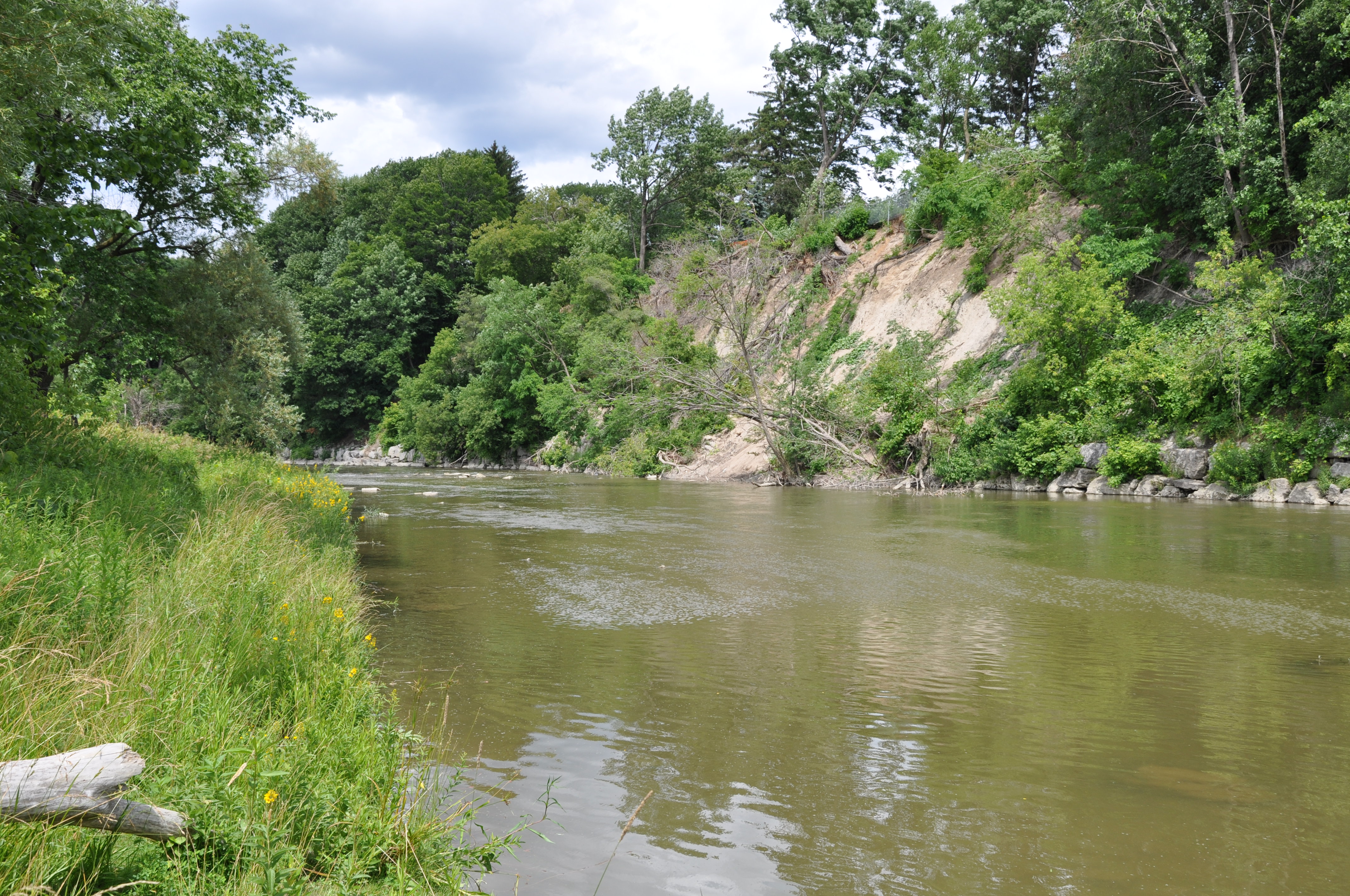
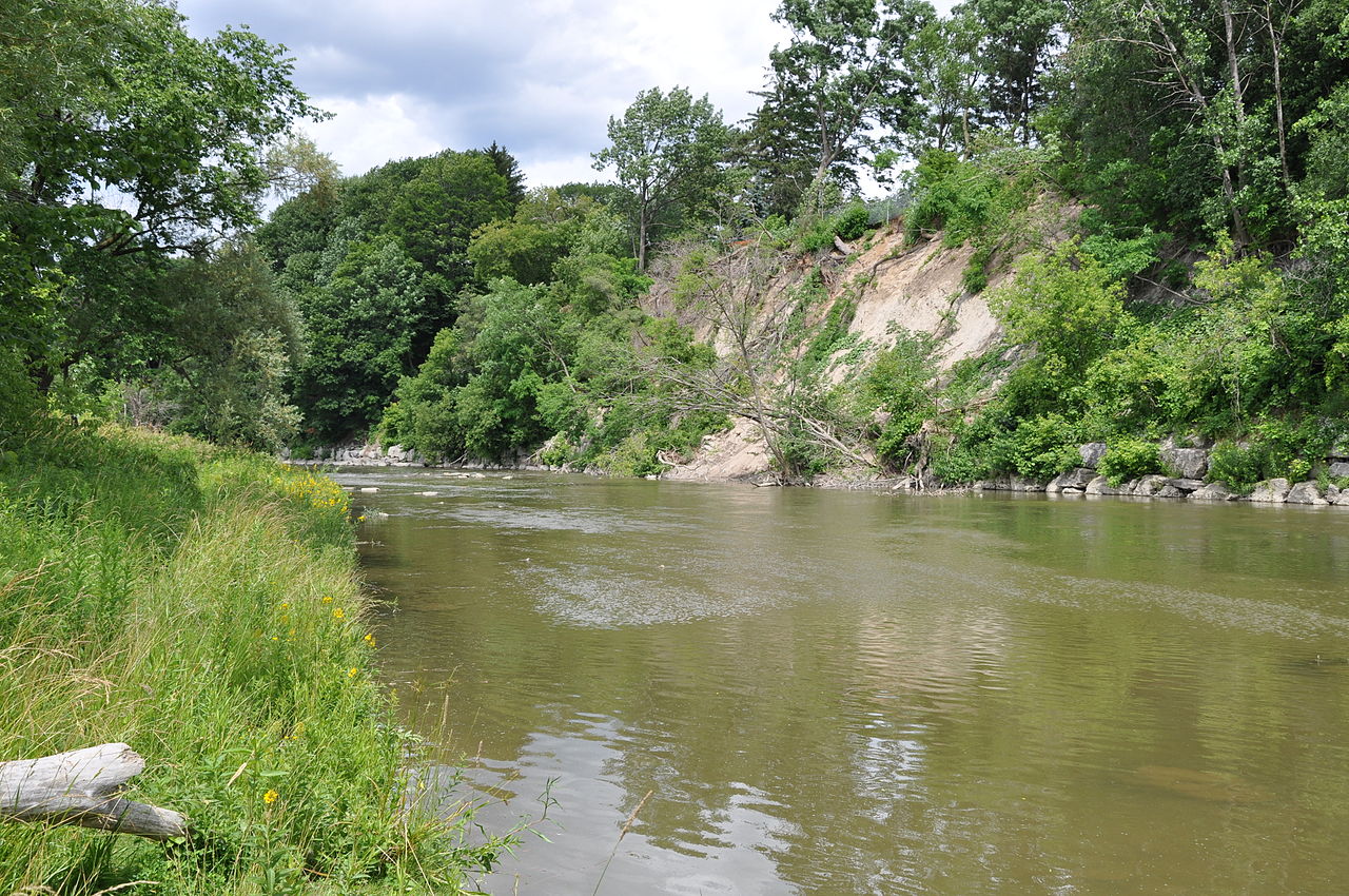
English: Humber River, south of Lawrence Avenue, Toronto, south of current footbridge, looking toward east bank. Shot from Raymore Park, approximately 20 meters from neighbourhood destroyed by Hurricane Hazel in 1954. |
| Date | |
| Source | Own work (Original text: I created this work entirely by myself.) |
| Author | Risker (talk) |
Licensing
[edit]
Risker at English Wikipedia, the copyright holder of this work, hereby publishes it under the following licenses:
This file is licensed under the Creative Commons Attribution-Share Alike 3.0 Unported license.
Attribution: Risker at English Wikipedia
- You are free:
- to share – to copy, distribute and transmit the work
- to remix – to adapt the work
- Under the following conditions:
- attribution – You must give appropriate credit, provide a link to the license, and indicate if changes were made. You may do so in any reasonable manner, but not in any way that suggests the licensor endorses you or your use.
- share alike – If you remix, transform, or build upon the material, you must distribute your contributions under the same or compatible license as the original.

|
Permission is granted to copy, distribute and/or modify this document under the terms of the GNU Free Documentation License, Version 1.2 or any later version published by the Free Software Foundation; with no Invariant Sections, no Front-Cover Texts, and no Back-Cover Texts. A copy of the license is included in the section entitled GNU Free Documentation License. |
You may select the license of your choice.
Original upload log
[edit]
The original description page was here. All following user names refer to en.wikipedia.
- 2009-07-14 23:34 Risker 4288×2848× (3175855 bytes) {{Information |Description = Humber River, south of Lawrence Avenue, Toronto, south of current footbridge, looking toward east bank. Shot from Raymore Park, approximately 20 meters from neighbourhood destroyed by Hurricane Hazel in 1954. |Source
File history
Click on a date/time to view the file as it appeared at that time.
| Date/Time | Thumbnail | Dimensions | User | Comment | |
|---|---|---|---|---|---|
| current | 23:46, 14 July 2009 | | 4,288 × 2,848 (3.03 MB) | Maxim (talk | contribs) | {{Information |Description={{en|Humber River, south of Lawrence Avenue, Toronto, south of current footbridge, looking toward east bank. Shot from Raymore Park, approximately 20 meters from neighbourhood destroyed by Hurricane Hazel in 1954.}} |Source=Tran |
You cannot overwrite this file.
File usage on Commons
The following page uses this file: