File:Hs21 Jättendal - KMB - 16000300013503.jpg
Jump to navigation
Jump to search
Size of this preview: 400 × 600 pixels. Other resolutions: 160 × 240 pixels | 512 × 768 pixels.
Original file (512 × 768 pixels, file size: 64 KB, MIME type: image/jpeg)
Captions
Captions
Add a one-line explanation of what this file represents
| Hs21 Jättendal
( |
|||||||||||||||||||||||||||
|---|---|---|---|---|---|---|---|---|---|---|---|---|---|---|---|---|---|---|---|---|---|---|---|---|---|---|---|
| Photographer |
|
||||||||||||||||||||||||||
| Title |
Hs21 Jättendal |
||||||||||||||||||||||||||
| Original caption |
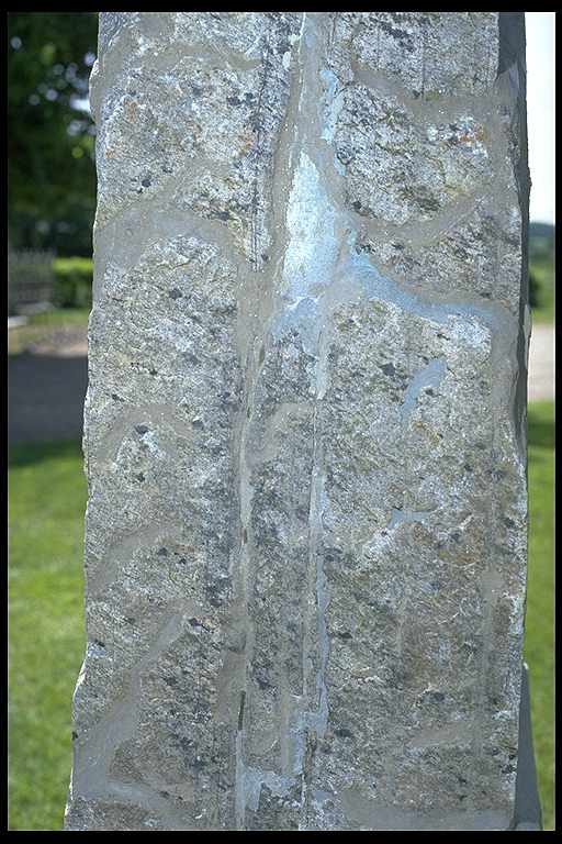
Notera Av dokumentationsskäl har originalbeskrivningen från Riksantikvarieämbetet behållits. Tillrättalägganden och alternativa beskrivningar bör införas separat från nedanstående information. Detalj av stenytan på runstenen vid Jättendals kyrka.Felaktigheter kan även anmälas till denna sida. Motiv: Hs21 Jättendal |
||||||||||||||||||||||||||
| Description |
Detalj av stenytan på runstenen vid Jättendals kyrka.
|
||||||||||||||||||||||||||
| Depicted place | Sweden, Nordanstig Municipality, Jättendals | ||||||||||||||||||||||||||
| Date | 14 June 1993 | ||||||||||||||||||||||||||
| Collection |
|
||||||||||||||||||||||||||
| Accession number | |||||||||||||||||||||||||||
| Source |
Bengt A Lundberg / Kulturmiljöbild, Riksantikvarieämbetet
|
||||||||||||||||||||||||||
| Permission (Reusing this file) |
This file is licensed under the Creative Commons Attribution 2.5 Generic license. Attribution: Bengt A Lundberg / Riksantikvarieämbetet
|
||||||||||||||||||||||||||


| Object location | | View this and other nearby images on: OpenStreetMap |
|---|
File history
Click on a date/time to view the file as it appeared at that time.
| Date/Time | Thumbnail | Dimensions | User | Comment | |
|---|---|---|---|---|---|
| current | 14:19, 9 June 2017 | | 512 × 768 (64 KB) | AndreCostaWMSE-bot (talk | contribs) | {{Kulturmiljöbild-image | short title = Hs21 Jättendal | original description = Detalj av stenytan på runstenen vid Jättendals kyrka.<br> Motiv: Hs21 Jättendal<br> Nyckelord: Runor<br> Kategori: (01) Exteriörer, Runristning/runsten | wiki descrip... |
You cannot overwrite this file.
File usage on Commons
The following page uses this file: