File:Hopsten Maibaum 01.JPG
From Wikimedia Commons, the free media repository
Jump to navigation
Jump to search
Size of this preview: 432 × 600 pixels. Other resolutions: 173 × 240 pixels | 346 × 480 pixels | 553 × 768 pixels | 737 × 1,024 pixels | 1,475 × 2,048 pixels | 3,296 × 4,576 pixels.
Original file (3,296 × 4,576 pixels, file size: 7.79 MB, MIME type: image/jpeg)
File information
Structured data
Captions
Summary
[edit]DescriptionHopsten Maibaum 01.JPG | |
Date | |
Source | Own work |
Author | J.-H. Janßen |
Camera location | 52° 22′ 59.06″ N, 7° 36′ 14.13″ E | View this and other nearby images on: OpenStreetMap | 52.383072; 7.603925 |
---|
Licensing
[edit]I, the copyright holder of this work, hereby publish it under the following license:
This file is made available under the Creative Commons CC0 1.0 Universal Public Domain Dedication. | |
The person who associated a work with this deed has dedicated the work to the public domain by waiving all of their rights to the work worldwide under copyright law, including all related and neighboring rights, to the extent allowed by law. You can copy, modify, distribute and perform the work, even for commercial purposes, all without asking permission.
http://creativecommons.org/publicdomain/zero/1.0/deed.enCC0Creative Commons Zero, Public Domain Dedicationfalsefalse |
File history
Click on a date/time to view the file as it appeared at that time.
Date/Time | Thumbnail | Dimensions | User | Comment | |
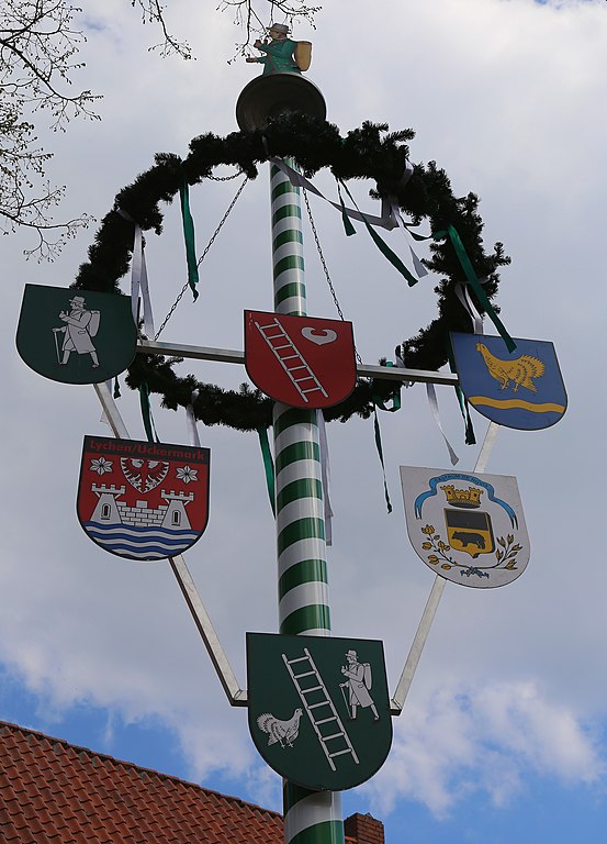
---|---|---|---|---|---|
current | 20:28, 9 August 2013 | 3,296 × 4,576 (7.79 MB) | J.-H. Janßen (talk | contribs) | {{Information |Description ={{en|1=Maypole on the market square of Hopsten, Kreis Steinfurt, North Rhine-Westphalia, Germany.}} {{de|1=Maibaum auf dem Marktplatz von Hopsten, Kreis Steinfurt, Nordrhein-Westfalen, [[Deutsc... |
You cannot overwrite this file.
File usage on Commons
There are no pages that use this file.
Metadata
This file contains additional information such as Exif metadata which may have been added by the digital camera, scanner, or software program used to create or digitize it. If the file has been modified from its original state, some details such as the timestamp may not fully reflect those of the original file. The timestamp is only as accurate as the clock in the camera, and it may be completely wrong.
Camera manufacturer | Canon |
---|---|
Camera model | Canon EOS 6D |
Exposure time | 1/200 sec (0.005) |
F-number | f/13 |
ISO speed rating | 100 |
Date and time of data generation | 15:36, 1 May 2013 |
Lens focal length | 47 mm |
Latitude | 52° 22′ 59.06″ N |
Longitude | 7° 36′ 14.13″ E |
Altitude | 41.4 meters above sea level |
Orientation | Normal |
File change date and time | 15:36, 1 May 2013 |
Y and C positioning | Co-sited |
Exposure Program | Landscape mode (for landscape photos with the background in focus) |
Exif version | 2.3 |
Date and time of digitizing | 15:36, 1 May 2013 |
Meaning of each component |
|
APEX shutter speed | 7.625 |
APEX aperture | 7.375 |
APEX exposure bias | 0 |
Metering mode | Pattern |
Flash | Flash did not fire, compulsory flash suppression |
DateTime subseconds | 36 |
DateTimeOriginal subseconds | 36 |
DateTimeDigitized subseconds | 36 |
Supported Flashpix version | 1 |
Color space | sRGB |
Focal plane X resolution | 3,810.5849582173 |
Focal plane Y resolution | 3,815.89958159 |
Focal plane resolution unit | inches |
Custom image processing | Normal process |
Exposure mode | Auto exposure |
White balance | Auto white balance |
Scene capture type | Standard |
GPS time (atomic clock) | 13:36 |
Satellites used for measurement | 12 |
Receiver status | Measurement in progress |
Measurement mode | 3-dimensional measurement |
Measurement precision | Poor (41) |
Geodetic survey data used | WGS-84 |
GPS date | 1 May 2013 |
GPS tag version | 2.3.0.0 |