File:Hopferstadt (Urkatasterplan um 1825).png
Jump to navigation
Jump to search

Size of this preview: 578 × 600 pixels. Other resolutions: 231 × 240 pixels | 463 × 480 pixels | 740 × 768 pixels | 987 × 1,024 pixels | 2,336 × 2,424 pixels.
Original file (2,336 × 2,424 pixels, file size: 1.01 MB, MIME type: image/png)
Captions
Captions
Add a one-line explanation of what this file represents
Summary
[edit].png&action=edit§ion=1)
| Description |
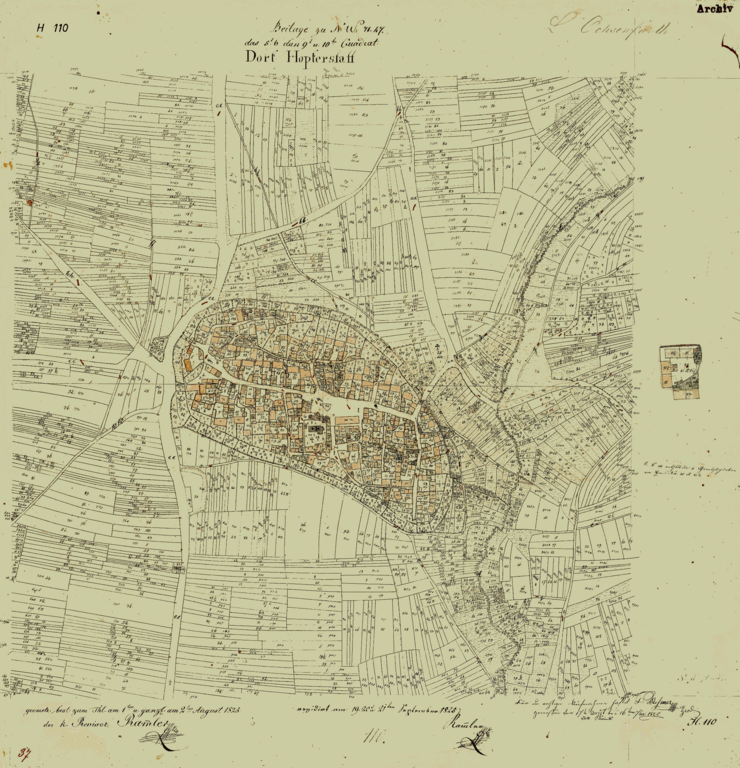
Deutsch: Urkatasterplan von Hopferstadt (von Moros nachbearbeitet) |
| Date | |
| Source | http://www.bayerische-landesbibliothek-online.de/images/blo/ortsblaetter/karten/karten/Ort_Hop_1825_H110.jpg |
| Author | Unknown author |
Licensing
[edit].png&action=edit§ion=2)
| This image is in the public domain according to German copyright law because it is part of a statute, ordinance, official decree or judgment (official work) issued by a German authority or court (§ 5 Abs.1 UrhG).
|
 |
File history
Click on a date/time to view the file as it appeared at that time.
| Date/Time | Thumbnail | Dimensions | User | Comment | |
|---|---|---|---|---|---|
| current | 14:48, 19 April 2011 | | 2,336 × 2,424 (1.01 MB) | AlexanderRahm (talk | contribs) | {{Information |Description=Urkatatsterplan von Hopferstadt (von Moros nachbearbeitet) |Source=http://www.bayerische-landesbibliothek-online.de/images/blo/ortsblaetter/karten/karten/Ort_Hop_1825_H110.jpg |Date=1825 |Author=unknown |Permissio |
You cannot overwrite this file.
File usage on Commons
The following page uses this file:
- File:Hopferstadt (Urkatatsterplan um 1825).png (file redirect)
.png&redirect=no)
File usage on other wikis
The following other wikis use this file:
- Usage on de.wikipedia.org
.png&oldid=618386582)