File:Honan Ave Hiking trail - panoramio (1).jpg
Jump to navigation
Jump to search

Size of this preview: 800 × 533 pixels. Other resolutions: 320 × 213 pixels | 640 × 427 pixels | 1,024 × 683 pixels | 1,280 × 853 pixels | 2,560 × 1,707 pixels | 5,184 × 3,456 pixels.
Original file (5,184 × 3,456 pixels, file size: 7.63 MB, MIME type: image/jpeg)
Captions
Captions
Add a one-line explanation of what this file represents
Summary
[edit].jpg&action=edit§ion=1)
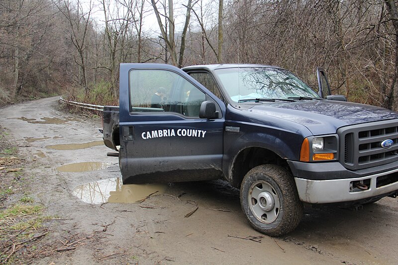
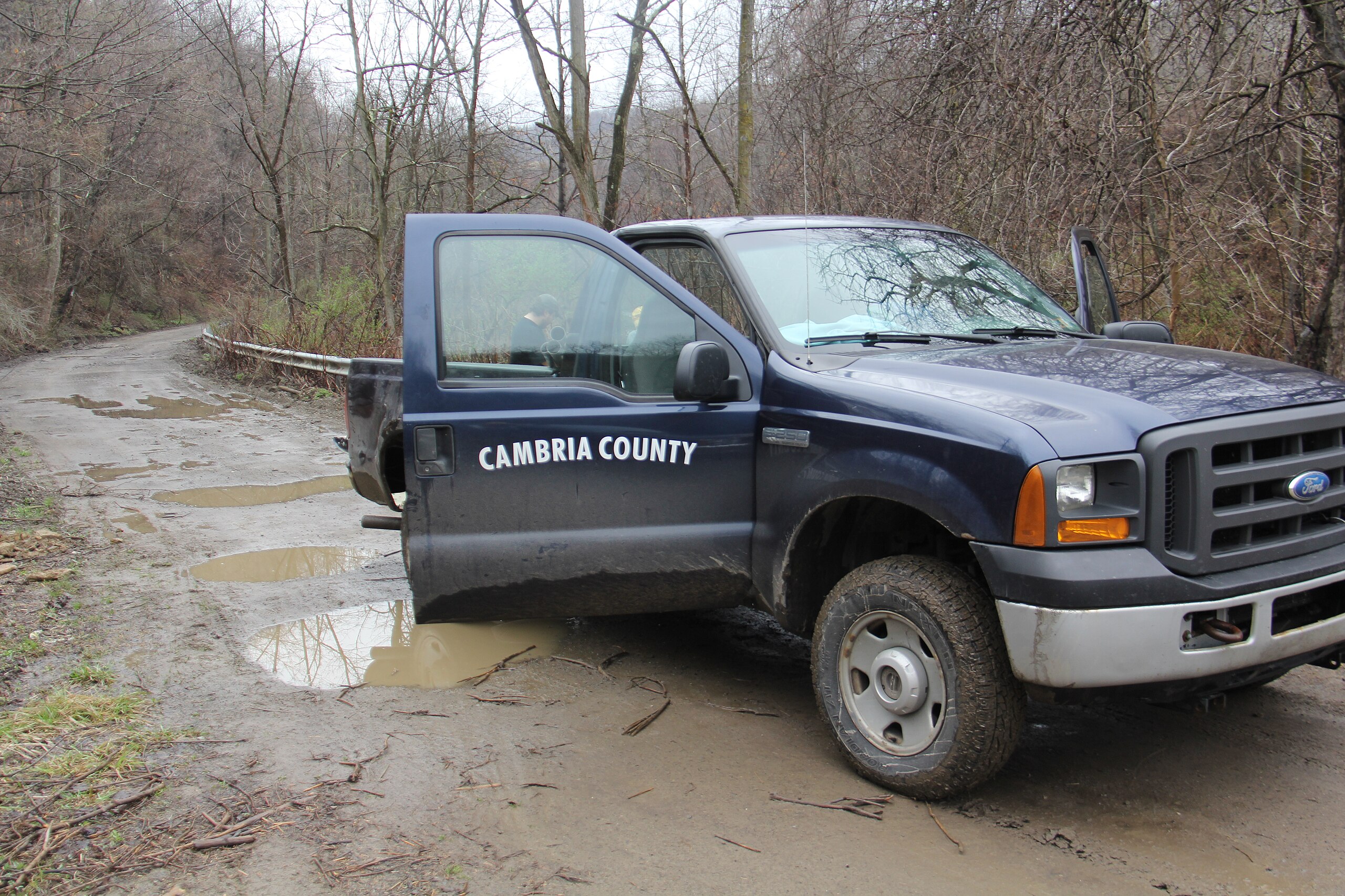
| Description | Honan Ave Hiking trail | ||
| Date | Taken on 17 April 2015 | ||
| Source | https://web.archive.org/web/20161030154226/http://www.panoramio.com/photo/118953449 | ||
| Author | Ron Shawley | ||
| Permission (Reusing this file) |
This file is licensed under the Creative Commons Attribution 3.0 Unported license. Attribution: Ron Shawley
|
||
| Panoramio Tags | Johnstown, 2015, bike, biking, Cambria, cambria county, Cambria County, chickare, chickaree, Chickaree Summit, chickaree summit, church, clouds, eagle, East Conemaugh, East Taylor, Fall, flood, hiking, honan ave, jackson Township, Johnstown, johnstown, JOHNSTOWN FLOOD, johnstown flood, Johnstown incline, Johnstown Incline Plane, Johnstown's West End, laurel highlands, Laurel Highlands Historical village, LHHV, LHHV. laurel highlands historical village, Middle Taylor, off road, trail |
| Camera location | | View this and other nearby images on: OpenStreetMap |
|---|
.jpg¶ms=040.350731_N_-078.908529_E_globe:Earth_type:camera_source:Panoramio_&language=en)
File history
Click on a date/time to view the file as it appeared at that time.
| Date/Time | Thumbnail | Dimensions | User | Comment | |
|---|---|---|---|---|---|
| current | 04:24, 5 June 2017 | | 5,184 × 3,456 (7.63 MB) | Panoramio upload bot (talk | contribs) | == {{int:filedesc}} == {{Information |description=Honan Ave Hiking trail |date={{Taken on|2015-04-17}} |source=http://www.panoramio.com/photo/118953449 |author=[http://www.panoramio.com/user/143517?with_photo_id=118953449 Ron Shawley] |permission={{cc-... |
You cannot overwrite this file.
File usage on Commons
There are no pages that use this file.
.jpg&oldid=650971413)