File:Hofdorf.PNG
Jump to navigation
Jump to search
No higher resolution available.
Hofdorf.PNG (421 × 325 pixels, file size: 384 KB, MIME type: image/png)
Captions
Captions
Add a one-line explanation of what this file represents
Summary
[edit]
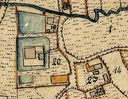
| Description | Lageplan von Schloss Hofdorf auf dem Urkataster von Bayern |
| Date | |
| Source | Geobasisdaten: Bayerische Vermessungsverwaltung |
| Author | Königreich Bayern |
| Permission (Reusing this file) |
CC BY-ND 3.0 DE |
Licensing
[edit]
| This image is in the public domain according to German copyright law because it is part of a statute, ordinance, official decree or judgment (official work) issued by a German authority or court (§ 5 Abs.1 UrhG).
|
 |
File history
Click on a date/time to view the file as it appeared at that time.
| Date/Time | Thumbnail | Dimensions | User | Comment | |
|---|---|---|---|---|---|
| current | 09:17, 29 April 2021 | | 421 × 325 (384 KB) | Luckyprof (talk | contribs) | {{Information |Description=Lageplan von Schloss Hofdorf auf dem Urkataster von Bayern |Source=Geobasisdaten: Bayerische Vermessungsverwaltung |Date=1832 |Author=Königreich Bayern |Permission=CC BY-ND 3.0 DE |other_versions= }} Category:Schloss Hofdorf |
You cannot overwrite this file.
File usage on Commons
There are no pages that use this file.
File usage on other wikis
The following other wikis use this file:
- Usage on de.wikipedia.org