File:Hochgletscheralpe Juppenspitze Mohnenfluh.jpg
Jump to navigation
Jump to search

Size of this preview: 800 × 517 pixels. Other resolutions: 320 × 207 pixels | 640 × 413 pixels | 1,024 × 662 pixels | 1,280 × 827 pixels | 2,560 × 1,654 pixels | 5,065 × 3,272 pixels.
Original file (5,065 × 3,272 pixels, file size: 6.13 MB, MIME type: image/jpeg)
Captions
Captions
Add a one-line explanation of what this file represents
| Description |
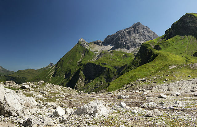
Deutsch: Hochgletscheralpe am nordseitigen Fuß der Braunarlspitze 2.649m. Rechts im Bild die Mohnenfluh (Quellberg der Bregenzer Ache ) links daneben die Juppenspitze und der kleine Bergzacken im Hintergrund ist der Biberkopf. Der Weg rechts führt in den Schatten, wo der hochalpine "Jäger Steig" oder auch "Geislinger Steig" zum Butzensee führt. Dieser Steig setzt Trittsicherheit, Schwindelfreiheit und alpine Erfahrung voraus. |
| Date | |
| Source | Own work |
| Author | böhringer friedrich |
| Permission (Reusing this file) |
I, the copyright holder of this work, hereby publish it under the following license: This file is licensed under the Creative Commons Attribution-Share Alike 2.5 Generic license.
|
| Other versions |
|

This Photo was taken by Böhringer Friedrich.
|
Feel free to use my photos, but please mention me as the author and if you want send me a message. or (rufre@lenz-nenning.at) |
| Camera location | | View this and other nearby images on: OpenStreetMap |
|---|
| Annotations | This image is annotated: View the annotations at Commons |
File history
Click on a date/time to view the file as it appeared at that time.
| Date/Time | Thumbnail | Dimensions | User | Comment | |
|---|---|---|---|---|---|
| current | 21:06, 18 August 2009 | | 5,065 × 3,272 (6.13 MB) | Böhringer (talk | contribs) | {{Information |Description= {{de| Hochgletscheralpe am nordseitigen Fuß der Braunarlspitze 2.649m. Rechts im Bild die Mohnenfluh (Quellberg der Bregenzer Ache ) links daneben die [[:de:Jupp |
You cannot overwrite this file.
File usage on Commons
The following page uses this file: