File:Hlinsko, CZ171117-029.jpg
Jump to navigation
Jump to search

Size of this preview: 800 × 446 pixels. Other resolutions: 320 × 179 pixels | 640 × 357 pixels | 1,024 × 571 pixels | 1,280 × 714 pixels | 2,560 × 1,429 pixels | 4,770 × 2,662 pixels.
Original file (4,770 × 2,662 pixels, file size: 5.46 MB, MIME type: image/jpeg)
Captions
Captions
Add a one-line explanation of what this file represents
Summary
[edit]
| Description |
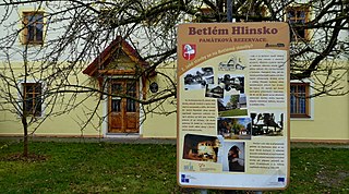
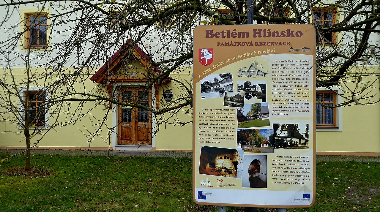
English: National Heritage Institute of the Czech Republic - Set of folk buildings Vysočina, the entrance to the building Administration of museum located in Hlinsko, Příčná street No. 350. In front of the information board building at the road to the Betlem monument reserve. Photo-location: Czechia, Pardubice Region, town Hlinsko, Betlém Monument Reservation (azimuth 195°).
Čeština: Národní památkový ústav České republiky – Soubor lidových staveb Vysočina, vchod do budovy správy muzea se sídlem v Hlinsku, Příčná ulice čp. 350. Před budovou informační tabule u cesty k památkové rezervaci lidové architektury s názvem Betlém. Foto-lokace: Česko, Pardubický kraj, Hlinsko, památková rezervace Betlém, na fotce: budova správy muzea Soubor lidových staveb Vysočina. |
| Date | |
| Source | Own work |
| Author | Josef Kreuz (PEPan) |
| Camera location | | View this and other nearby images on: OpenStreetMap |
|---|
Externí odkazy
[edit]
- Soubor lidových staveb Vysočina se sídlem v Hlinsku, Příčná ulice čp. 350 – turistická mapa
- Národní památkový ústav ČR – Územní památková správa na Sychrově
- Národní památkový ústav ČR, Územní památková správa na Sychrově – kasteláni, správci objektů
Licensing
[edit]
I, the copyright holder of this work, hereby publish it under the following license:
This file is licensed under the Creative Commons Attribution-Share Alike 4.0 International license.
- You are free:
- to share – to copy, distribute and transmit the work
- to remix – to adapt the work
- Under the following conditions:
- attribution – You must give appropriate credit, provide a link to the license, and indicate if changes were made. You may do so in any reasonable manner, but not in any way that suggests the licensor endorses you or your use.
- share alike – If you remix, transform, or build upon the material, you must distribute your contributions under the same or compatible license as the original.
File history
Click on a date/time to view the file as it appeared at that time.
| Date/Time | Thumbnail | Dimensions | User | Comment | |
|---|---|---|---|---|---|
| current | 14:09, 24 November 2017 | | 4,770 × 2,662 (5.46 MB) | PEPan (talk | contribs) | User created page with UploadWizard |
You cannot overwrite this file.
File usage on Commons
There are no pages that use this file.
File usage on other wikis
The following other wikis use this file:
- Usage on cs.wikipedia.org