File:Historische Karte von den Nordfriesischen Inseln - Franz Geerz 1888-2 (cropped Föhr).jpg
Jump to navigation
Jump to search

Size of this preview: 772 × 599 pixels. Other resolutions: 309 × 240 pixels | 618 × 480 pixels | 989 × 768 pixels | 1,280 × 994 pixels | 1,812 × 1,407 pixels.
Original file (1,812 × 1,407 pixels, file size: 3.45 MB, MIME type: image/jpeg)
Captions
Captions
Add a one-line explanation of what this file represents
| Description |
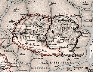
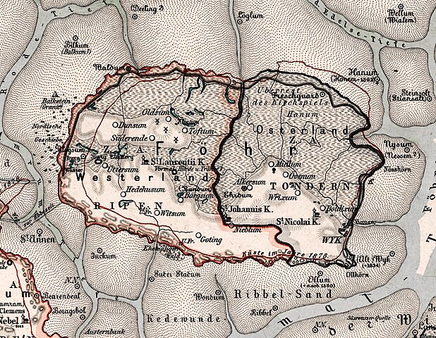
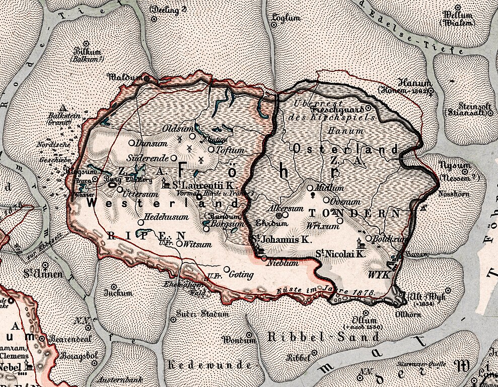
Deutsch: Historische Karte von den Nordfriesischen Inseln Nordstrand, Pellworm, Amrum, Föhr, Sylt etc. der continentalen Marsch zwischen Hever und Königsau, sowie der Friesischen Vorgeest. Redigirt für die Zeit von 1643 bis 1648, mit besonderer Berücksichtigung der vor dem Jahre 1643 untergegangenen Köge, Kirchen, Ortschaften etc. |
| Date | |
| Source | |
| Author | Franz Geerz |
| Other versions |
|


|
This work is in the public domain in its country of origin and other countries and areas where the copyright term is the author's life plus 70 years or fewer. This work is in the public domain in the United States because it was published (or registered with the U.S. Copyright Office) before January 1, 1929. | |
| This file has been identified as being free of known restrictions under copyright law, including all related and neighboring rights. | |
File history
Click on a date/time to view the file as it appeared at that time.
| Date/Time | Thumbnail | Dimensions | User | Comment | |
|---|---|---|---|---|---|
| current | 17:58, 27 August 2017 | | 1,812 × 1,407 (3.45 MB) | Ratzer (talk | contribs) | File:Historische Karte von den Nordfriesischen Inseln - Franz Geerz 1888-2.jpg cropped 76 % horizontally and 86 % vertically using CropTool with precise mode. |
You cannot overwrite this file.
File usage on Commons
The following 3 pages use this file:
.jpg&redirect=no)
.jpg&redirect=no)
File usage on other wikis
The following other wikis use this file:
- Usage on de.wikipedia.org
.jpg&oldid=513079184)