File:Hindu-Kush.jpg
Jump to navigation
Jump to search

Size of this preview: 800 × 588 pixels. Other resolutions: 320 × 235 pixels | 640 × 470 pixels | 1,024 × 752 pixels | 1,280 × 940 pixels | 1,740 × 1,278 pixels.
Original file (1,740 × 1,278 pixels, file size: 1.85 MB, MIME type: image/jpeg)
Captions
Captions
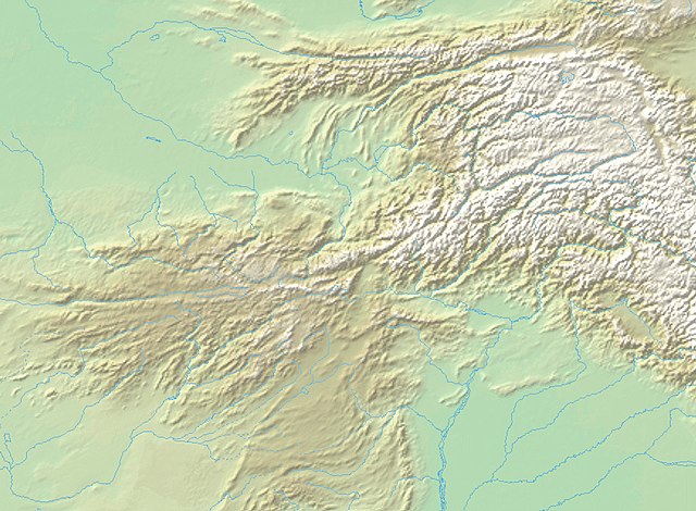
Hindu-Kush
Summary
[edit]| Description |
English: Hindu-Kush |
| Date | |
| Source | |
| Author |
Map created from DEMIS Mapserver, which are public domain. |

Licensing
[edit]

|
Permission is granted to copy, distribute and/or modify this document under the terms of the GNU Free Documentation License, Version 1.2 or any later version published by the Free Software Foundation; with no Invariant Sections, no Front-Cover Texts, and no Back-Cover Texts. A copy of the license is included in the section entitled GNU Free Documentation License. |
| This file is licensed under the Creative Commons Attribution-Share Alike 3.0 Unported license. | ||
| ||
| This licensing tag was added to this file as part of the GFDL licensing update. |
File history
Click on a date/time to view the file as it appeared at that time.
| Date/Time | Thumbnail | Dimensions | User | Comment | |
|---|---|---|---|---|---|
| current | 11:28, 9 January 2022 | | 1,740 × 1,278 (1.85 MB) | पाटलिपुत्र (talk | contribs) | Reverted to version as of 15:31, 31 October 2020 (UTC) |
| 15:42, 31 October 2020 |  | 1,740 × 1,278 (2 MB) | पाटलिपुत्र (talk | contribs) | colors | |
| 15:31, 31 October 2020 |  | 1,740 × 1,278 (1.85 MB) | पाटलिपुत्र (talk | contribs) | faded | |
| 15:11, 30 October 2020 |  | 1,740 × 1,278 (1.96 MB) | पाटलिपुत्र (talk | contribs) | colors | |
| 15:10, 30 October 2020 |  | 1,740 × 1,278 (1.79 MB) | पाटलिपुत्र (talk | contribs) | Colors | |
| 14:45, 30 October 2020 |  | 1,740 × 1,278 (2.04 MB) | पाटलिपुत्र (talk | contribs) | Uploaded a work by Map created from [http://www2.demis.nl/mapserver/mapper.asp DEMIS Mapserver], which are public domain.<br> DEMIS Mapserver, पाटलिपुत्र from {{extracted from|File:West Asia non political with water system.jpg}} with UploadWizard |
You cannot overwrite this file.
File usage on Commons
There are no pages that use this file.
File usage on other wikis
The following other wikis use this file:
- Usage on bn.wikipedia.org
- Usage on de.wikipedia.org
- Usage on en.wikipedia.org
- Jalalabad
- Khujand
- Sust
- Shahrisabz
- Mes Aynak
- Tokharistan
- Hund, Khyber Pakhtunkhwa
- Akora Khattak
- Guzgan
- Zunbils
- Tepe Narenj
- Principality of Chaghaniyan
- Qarlughids
- Nezak Huns
- Turk Shahis
- Lawik dynasty
- Tokhara Yabghus
- Fondukistan monastery
- Khair Khaneh
- Tepe Sardar
- Alkhis
- Patola Shahis
- Tepe Maranjan
- Abd al-Rahman ibn Samura
- Ikhshids of Sogdia
- Usage on fa.wikipedia.org
- Usage on ko.wikipedia.org
- Usage on th.wikipedia.org
- Usage on zh.wikipedia.org