File:High Tatra Mountains.jpg
Jump to navigation
Jump to search
Size of this preview: 800 × 533 pixels. Other resolutions: 320 × 213 pixels | 640 × 427 pixels | 1,024 × 683 pixels | 1,280 × 853 pixels | 2,560 × 1,707 pixels | 3,888 × 2,592 pixels.
Original file (3,888 × 2,592 pixels, file size: 4.45 MB, MIME type: image/jpeg)
Captions
Captions
Add a one-line explanation of what this file represents
Summary
[edit]
Licensing
[edit]
| Description |
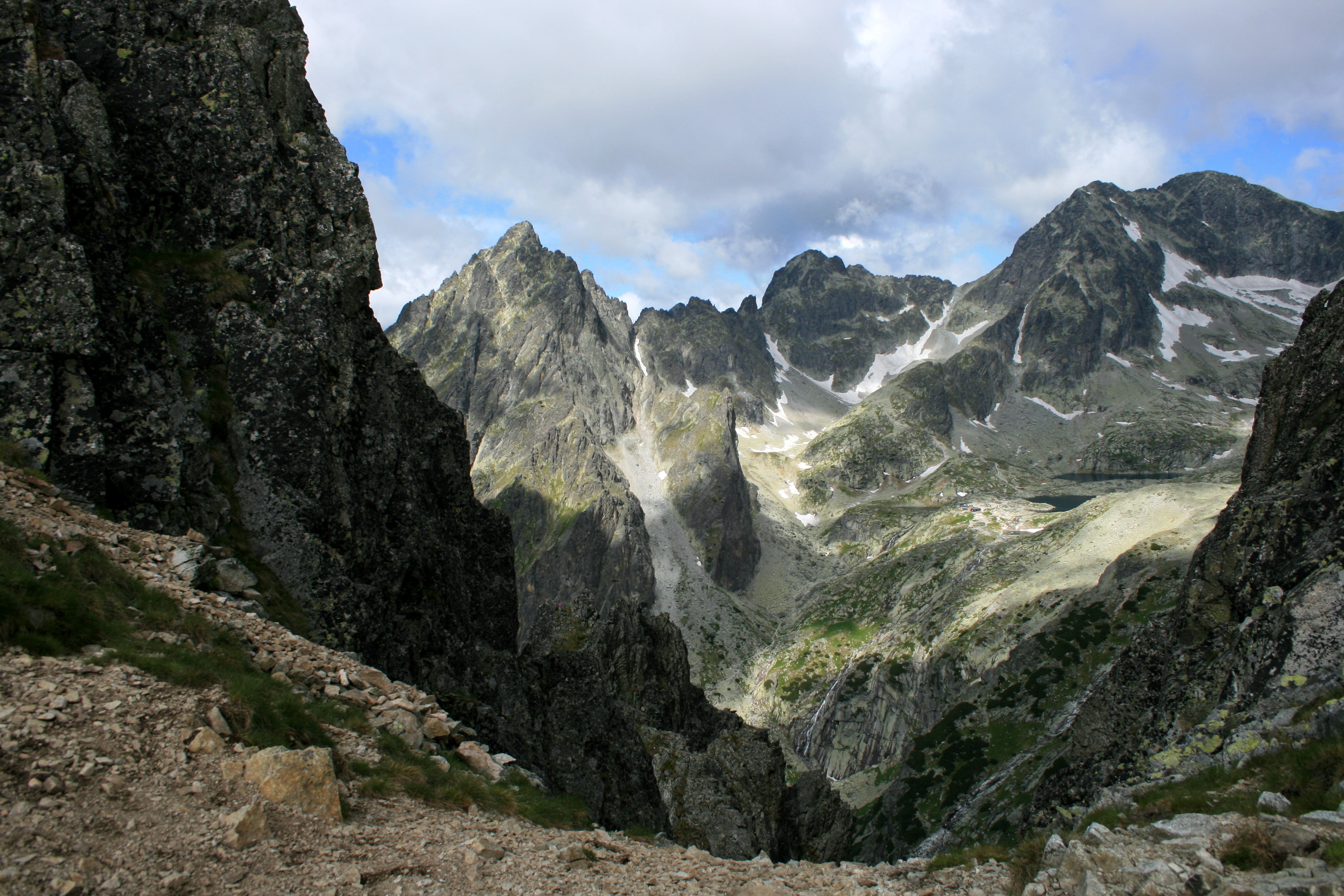
Polski: Tatry Wysokie, rejon Lodowego Szczytu, widok spod Wielkiej Łomnickiej Baszty |
| Date | |
| Source | High Tatras |
| Author | Laima Gūtmane (simka) |
| Camera location | | View this and other nearby images on: OpenStreetMap |
|---|
Licensing
[edit]
This file is licensed under the Creative Commons Attribution-Share Alike 3.0 Unported license.
- You are free:
- to share – to copy, distribute and transmit the work
- to remix – to adapt the work
- Under the following conditions:
- attribution – You must give appropriate credit, provide a link to the license, and indicate if changes were made. You may do so in any reasonable manner, but not in any way that suggests the licensor endorses you or your use.
- share alike – If you remix, transform, or build upon the material, you must distribute your contributions under the same or compatible license as the original.
| This image, which was originally posted to Panoramio, was reviewed on 29 December 2011 by the administrator or trusted user Morning Sunshine, who confirmed that it was available on Panoramio under the above license on that date. |
| Annotations | This image is annotated: View the annotations at Commons |
File history
Click on a date/time to view the file as it appeared at that time.
| Date/Time | Thumbnail | Dimensions | User | Comment | |
|---|---|---|---|---|---|
| current | 13:42, 29 December 2011 | | 3,888 × 2,592 (4.45 MB) | High Contrast (talk | contribs) | == {{int:license-header}} == {{Information |Description= {{en|High Tatra Mountains.}} |Source=[http://www.panoramio.com/photo/60471326 High Tatras] |Date=2011-06-22 10:40 |Author=[http://www.panoramio.com/user/1038849 simka] |Permission= |other_versions= |
You cannot overwrite this file.
File usage on Commons
There are no pages that use this file.