File:High Pasture Cave near to Kilbride2.jpg
Jump to navigation
Jump to search
Size of this preview: 450 × 600 pixels. Other resolutions: 180 × 240 pixels | 480 × 640 pixels.
Original file (480 × 640 pixels, file size: 68 KB, MIME type: image/jpeg)
Captions
Captions
Add a one-line explanation of what this file represents
Summary
[edit]
| Description |
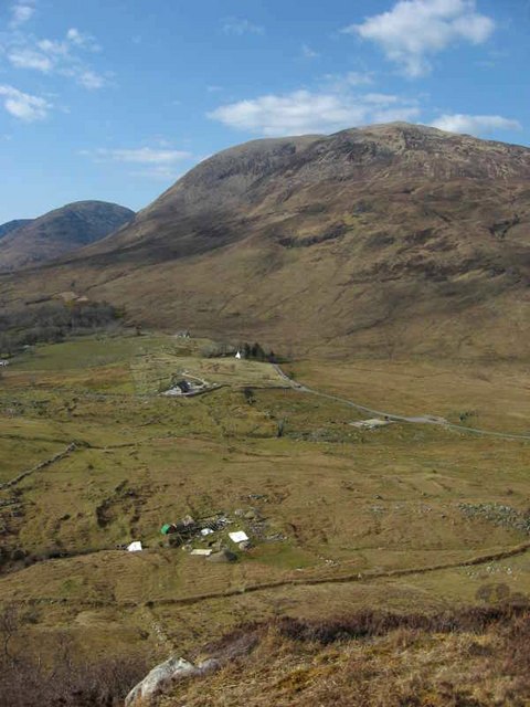
English: High Pasture Cave near to Kilbride Very interesting Bronze age settlement and natural cave complex http://www.high-pasture-cave.org/index.php/home/
Also nearby is a deserted crofting settlement View looks across to Beinn Dearg Bheag |
| Date | |
| Source | From geograph.org.uk |
| Author | Paul Rose |
| Camera location | | View this and other nearby images on: OpenStreetMap |
|---|
Licensing
[edit]

|
This image was taken from the Geograph project collection. See this photograph's page on the Geograph website for the photographer's contact details. The copyright on this image is owned by Paul Rose and is licensed for reuse under the Creative Commons Attribution-ShareAlike 2.0 license.
|
This file is licensed under the Creative Commons Attribution-Share Alike 2.0 Generic license.
Attribution: Paul Rose
- You are free:
- to share – to copy, distribute and transmit the work
- to remix – to adapt the work
- Under the following conditions:
- attribution – You must give appropriate credit, provide a link to the license, and indicate if changes were made. You may do so in any reasonable manner, but not in any way that suggests the licensor endorses you or your use.
- share alike – If you remix, transform, or build upon the material, you must distribute your contributions under the same or compatible license as the original.
File history
Click on a date/time to view the file as it appeared at that time.
| Date/Time | Thumbnail | Dimensions | User | Comment | |
|---|---|---|---|---|---|
| current | 11:38, 6 September 2008 | | 480 × 640 (68 KB) | Marcus Cyron (talk | contribs) | {{Information |Description={{en|1=Archaeological Site of High Pasture Cave near to Kilbride near to Torrin, Highland, Great Britain}} |Source=http://www.geograph.org.uk/photo/823436 |Author=Paul Rose |Date= Sunday, 20 April, 2008 |Permission=Licence se |
You cannot overwrite this file.
File usage on Commons
There are no pages that use this file.
File usage on other wikis
The following other wikis use this file:
- Usage on de.wikipedia.org
- Usage on en.wikipedia.org
- Usage on ga.wikipedia.org
- Usage on gd.wikipedia.org
- Usage on www.wikidata.org