File:Higashi-kyushu Expressway map.svg
Jump to navigation
Jump to search

Size of this PNG preview of this SVG file: 480 × 600 pixels. Other resolutions: 192 × 240 pixels | 384 × 480 pixels | 614 × 768 pixels | 819 × 1,024 pixels | 1,638 × 2,048 pixels | 1,200 × 1,500 pixels.
Original file (SVG file, nominally 1,200 × 1,500 pixels, file size: 199 KB)
Captions
Captions
Add a one-line explanation of what this file represents
Summary
[edit]
| Description |
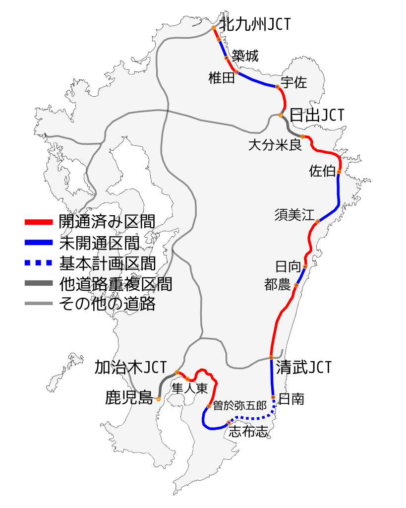
日本語:東九州自動車道の2013年1月現在の地図。(svgにて再度作成。) |
| Date | |
| Source | Own work |
| Author | Sakoppi(2013年1月版の作成者:S2000171) |
Licensing
[edit]
I, the copyright holder of this work, hereby publish it under the following licenses:

|
Permission is granted to copy, distribute and/or modify this document under the terms of the GNU Free Documentation License, Version 1.2 or any later version published by the Free Software Foundation; with no Invariant Sections, no Front-Cover Texts, and no Back-Cover Texts. A copy of the license is included in the section entitled GNU Free Documentation License. |
This file is licensed under the Creative Commons Attribution 3.0 Unported license.
- You are free:
- to share – to copy, distribute and transmit the work
- to remix – to adapt the work
- Under the following conditions:
- attribution – You must give appropriate credit, provide a link to the license, and indicate if changes were made. You may do so in any reasonable manner, but not in any way that suggests the licensor endorses you or your use.
You may select the license of your choice.
File history
Click on a date/time to view the file as it appeared at that time.
| Date/Time | Thumbnail | Dimensions | User | Comment | |
|---|---|---|---|---|---|
| current | 13:31, 7 January 2013 | | 1,200 × 1,500 (199 KB) | S2000171 (talk | contribs) | Reverted to version as of 01:56, 6 January 2013 |
| 13:29, 7 January 2013 |  | 1,200 × 1,500 (199 KB) | S2000171 (talk | contribs) | ||
| 01:57, 6 January 2013 |  | 1,200 × 1,500 (280 KB) | S2000171 (talk | contribs) | Reverted to version as of 09:09, 11 April 2012 | |
| 01:56, 6 January 2013 |  | 1,200 × 1,500 (199 KB) | S2000171 (talk | contribs) | 小修改:新增延岡JCT至須美江IC之間道路、新增高鍋IC至都農IC之間道路。 | |
| 09:09, 11 April 2012 |  | 1,200 × 1,500 (280 KB) | Sakoppi (talk | contribs) | 2012年度用として作成準備していたものを間違えてアップロードしていたのでオブジェクトをパス化した上で再度2011年度分に戻す。 | |
| 08:46, 5 April 2012 |  | 1,200 × 1,500 (294 KB) | Sakoppi (talk | contribs) | オブジェクトをパス化してみた。 | |
| 14:07, 31 July 2011 |  | 1,200 × 1,500 (195 KB) | Sakoppi (talk | contribs) | フィルの設定忘れ | |
| 13:17, 31 July 2011 |  | 1,200 × 1,500 (193 KB) | Sakoppi (talk | contribs) | 点の位置修正など | |
| 13:04, 31 July 2011 |  | 1,200 × 1,500 (194 KB) | Sakoppi (talk | contribs) | {{Information |Description ={{ja|1=東九州自動車道の地図。svgにて再度作成。}} |Source ={{Own}} |Author =Sakoppi |Date =2011-07-31 |Permission = |other_version |
You cannot overwrite this file.
File usage on Commons
There are no pages that use this file.