File:Het water de Groote Heicop met het zelfbedienings pontje bij Kockengen.jpg
Jump to navigation
Jump to search

Size of this preview: 800 × 480 pixels. Other resolutions: 320 × 192 pixels | 1,024 × 614 pixels | 1,280 × 768 pixels | 2,560 × 1,536 pixels | 5,120 × 3,072 pixels.
Original file (5,120 × 3,072 pixels, file size: 2.64 MB, MIME type: image/jpeg)
Captions
Captions
Add a one-line explanation of what this file represents
Summary
[edit]
| Description |
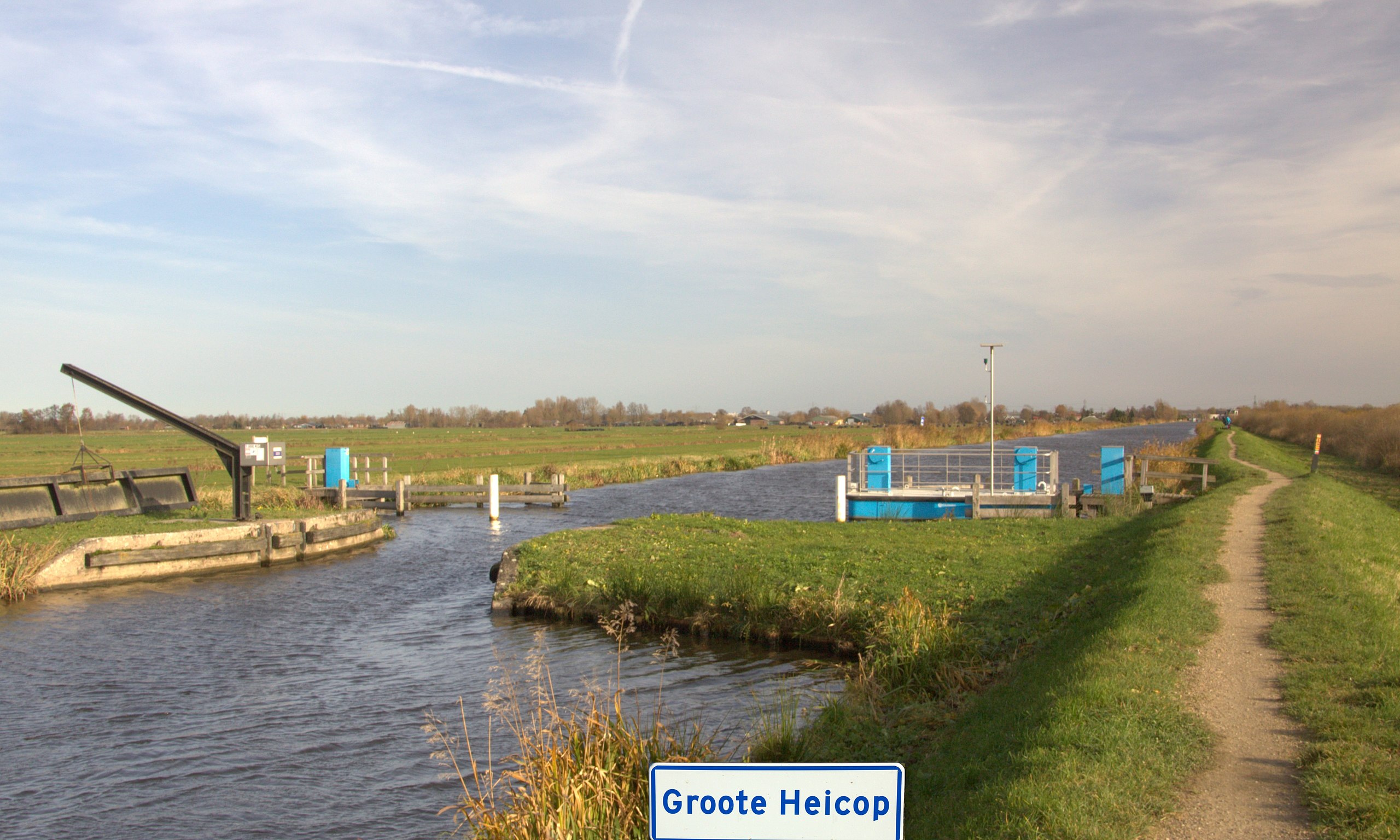
Nederlands: Het is best leuk om je zelf met het pontje naar de overzijde te trekken, het is nog best even een zwaar karweitje, maar het is de moeite waard, de fiets kan niet mee het pad is dan ook een smal voetpad verder aan de overzijde. Vooraan op de foto zien we waar de Joostendam is geweest. |
| Date | |
| Source | Own work |
| Author | Jan dijkstra |
| Camera location | | View this and other nearby images on: OpenStreetMap |
|---|
Licensing
[edit]
I, the copyright holder of this work, hereby publish it under the following license:
This file is licensed under the Creative Commons Attribution-Share Alike 4.0 International license.
- You are free:
- to share – to copy, distribute and transmit the work
- to remix – to adapt the work
- Under the following conditions:
- attribution – You must give appropriate credit, provide a link to the license, and indicate if changes were made. You may do so in any reasonable manner, but not in any way that suggests the licensor endorses you or your use.
- share alike – If you remix, transform, or build upon the material, you must distribute your contributions under the same or compatible license as the original.
File history
Click on a date/time to view the file as it appeared at that time.
| Date/Time | Thumbnail | Dimensions | User | Comment | |
|---|---|---|---|---|---|
| current | 21:03, 25 November 2016 | | 5,120 × 3,072 (2.64 MB) | Jan dijkstra (talk | contribs) | User created page with UploadWizard |
You cannot overwrite this file.
File usage on Commons
There are no pages that use this file.