File:Hen gerbydau rheilffordd Old railway stock - geograph.org.uk - 6746992.jpg
Jump to navigation
Jump to search
Size of this preview: 800 × 533 pixels. Other resolutions: 320 × 213 pixels | 640 × 426 pixels | 1,024 × 682 pixels.
Original file (1,024 × 682 pixels, file size: 276 KB, MIME type: image/jpeg)
Captions
Captions
Add a one-line explanation of what this file represents
Summary
[edit]
| Description |
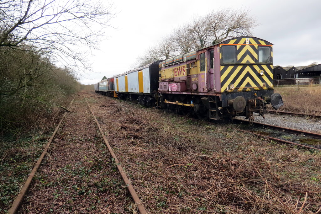
English: Hen gerbydau rheilffordd / Old railway stock
Hen gerbydau rheilffordd wedi eu parcio lan ar hen Reilffordd Cwm Gwendraeth. Old rolling stock parked up on the now disused Gwendraeth Valley Railway. |
| Date | |
| Source | From geograph.org.uk |
| Author | Alan Richards |
| Permission (Reusing this file) |
Creative Commons Attribution Share-alike license 2.0 |
| Attribution (required by the license) | Alan Richards / Hen gerbydau rheilffordd / Old railway stock / |
| Camera location | | View this and other nearby images on: OpenStreetMap |
|---|
_heading:270.00&language=en)
| Object location | | View this and other nearby images on: OpenStreetMap |
|---|
_heading:270.00&language=en)
Licensing
[edit]

|
This image was taken from the Geograph project collection. See this photograph's page on the Geograph website for the photographer's contact details. The copyright on this image is owned by Alan Richards and is licensed for reuse under the Creative Commons Attribution-ShareAlike 2.0 license.
|
This file is licensed under the Creative Commons Attribution-Share Alike 2.0 Generic license.
Attribution: Alan Richards
- You are free:
- to share – to copy, distribute and transmit the work
- to remix – to adapt the work
- Under the following conditions:
- attribution – You must give appropriate credit, provide a link to the license, and indicate if changes were made. You may do so in any reasonable manner, but not in any way that suggests the licensor endorses you or your use.
- share alike – If you remix, transform, or build upon the material, you must distribute your contributions under the same or compatible license as the original.
File history
Click on a date/time to view the file as it appeared at that time.
| Date/Time | Thumbnail | Dimensions | User | Comment | |
|---|---|---|---|---|---|
| current | 22:19, 8 May 2021 | | 1,024 × 682 (276 KB) | Salen9 (talk | contribs) | == {{int:filedesc}} == {{Information |Description={{en|1=Hen gerbydau rheilffordd / Old railway stock Hen gerbydau rheilffordd wedi eu parcio lan ar hen Reilffordd Cwm Gwendraeth. Old rolling stock parked up on the now disused Gwendraeth Valley Railway.}} |Source=From [https://www.geograph.org.uk/photo/6746992 geograph.org.uk] |Date=2021-02-05 |Author=[https://www.geograph.org.uk/profile/48504 Alan Richards] |Permission=Creative Commons Attribution Share-alike license 2.0 |Other fields={{Cr... |
You cannot overwrite this file.
File usage on Commons
The following 3 pages use this file: