File:Hellespont or channel of the Dardanelles LOC 2018588034.jpg
Jump to navigation
Jump to search

Size of this preview: 800 × 472 pixels. Other resolutions: 320 × 189 pixels | 640 × 378 pixels | 1,024 × 605 pixels | 1,280 × 756 pixels | 2,560 × 1,512 pixels | 4,960 × 2,929 pixels.
Original file (4,960 × 2,929 pixels, file size: 2.06 MB, MIME type: image/jpeg)
Captions
Captions
Add a one-line explanation of what this file represents
Summary
[edit]| Description |
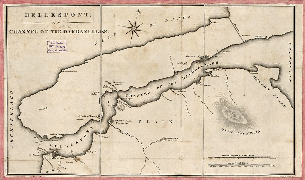
English: Relief shown by hachures; depths shown by soundings. When affixed to the cloth backing the map sheet was sectioned to 3 panels to enable folding. Handwritten signature of Millard Fillmore is not present. LC sheet imperfect: Lightly foxed, additionally fold-lined, hemmed by pink fabric. Includes 2 bar scales: French leagues of 2500 toises -- 10000 French toises. Filing title in ink script on cover verso: Hellespont or Dardanells [thus], No. 156. Paper tab with ink script affixed to cover verso: Hellespont of Dardanells [thus] in Turkey--No.156. In upper margin at right: Plate II. Available also through the Library of Congress Web site as a raster image. Vault |
||
| Title | Hellespont or channel of the Dardanelles | ||
| Shelf ID | G7432.D3 1830 .A5 | ||
| Date | |||
| Source | https://www.loc.gov/item/2018588034/ | ||
| Author | Annin & Smith; Fillmore, Millard | ||
| Permission (Reusing this file) |
|
||
| Other versions |
|
||
| Location | Turkey · Dardanelles Strait | ||
| Part of | American Memory · General Maps · Geography And Map Division | ||
| Subject | Turkey · Maps · Dardanelles Strait (Turkey) · Dardanelles Strait |


Licensing
[edit]
|
This is a faithful photographic reproduction of a two-dimensional, public domain work of art. The work of art itself is in the public domain for the following reason:
The official position taken by the Wikimedia Foundation is that "faithful reproductions of two-dimensional public domain works of art are public domain".
This photographic reproduction is therefore also considered to be in the public domain in the United States. In other jurisdictions, re-use of this content may be restricted; see Reuse of PD-Art photographs for details. | ||||
File history
Click on a date/time to view the file as it appeared at that time.
| Date/Time | Thumbnail | Dimensions | User | Comment | |
|---|---|---|---|---|---|
| current | 06:35, 1 August 2018 | | 4,960 × 2,929 (2.06 MB) | Fæ (talk | contribs) | LOC Maps https://www.loc.gov/item/2018588034/ #18116 |
You cannot overwrite this file.
File usage on Commons
The following page uses this file: